Course
ROUTES — a map holds every way from here to there, but which one is best is never printed on it; the best route depends on what you carry, what you fear, and what you value, so you choose it, the map only shows the options
Loading audio…
Press play to listen along. The line being read lights up as you go.
Show full transcript
Loading transcript…
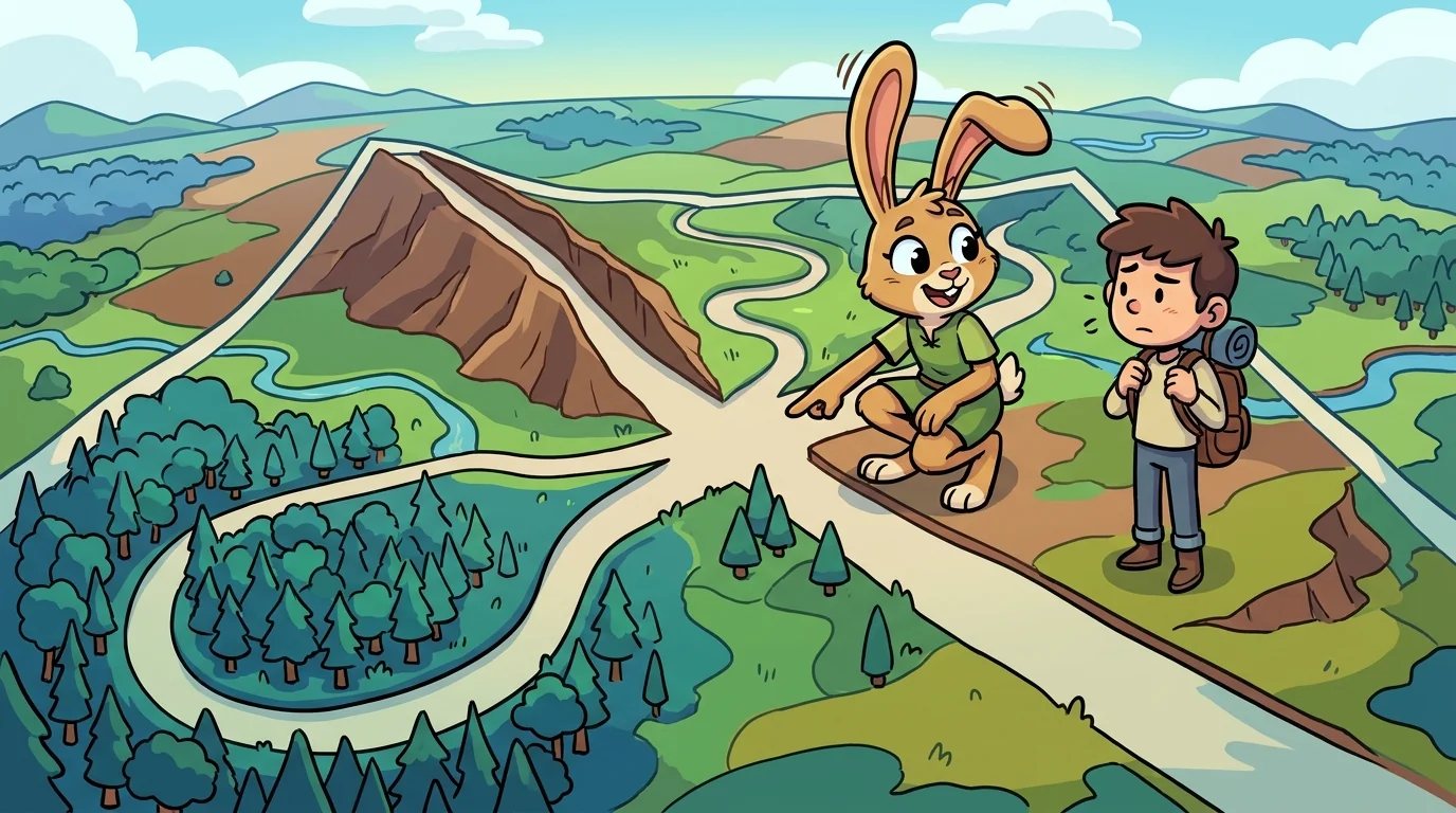
Atlas laid a map with three lines drawn from the same village to the same market and asked Course which was the best road.
"That is a trick question, and a good one," said Course, a lean traveler with well-worn boots. "The map shows all three. It does not — it cannot — tell you which is best, because 'best' is not a fact about the land. It is a fact about you." He tapped each line. "This one is shortest. This one is flattest, easy on a heavy cart. This one is longest but keeps to the open valley, away from where bandits hide. Shortest, easiest, safest — three different bests. The map is honest about the distances. The choosing is yours."
Course taught that a route is a weighing, and named the weights.
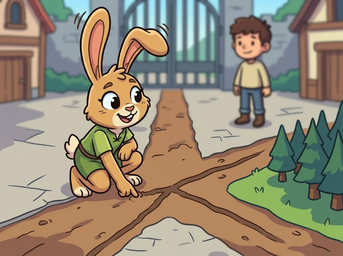
"Every path has a cost, and the cost is never just distance," he said. "There's time, which depends on the terrain — a short steep road can be slower than a long flat one. There's effort, which depends on what you carry. There's risk, which depends on weather and season and what you fear. A good router doesn't ask which is shortest. He asks which is shortest for the thing I actually care about — and different travelers, honestly, get different answers from the very same map." He drew a fourth faint line. "This is how a routing machine does it too, under the hood: it puts a number — a weight — on every segment, then finds the path with the smallest total. Change what the weights mean — miles, minutes, safety — and the 'best' path changes completely, though the map never moved."
The older students heard the subtext: information can lay out the options perfectly and still not decide for you; the values you bring are the missing, deciding ingredient.
Course had learned it by choosing wrong, once.
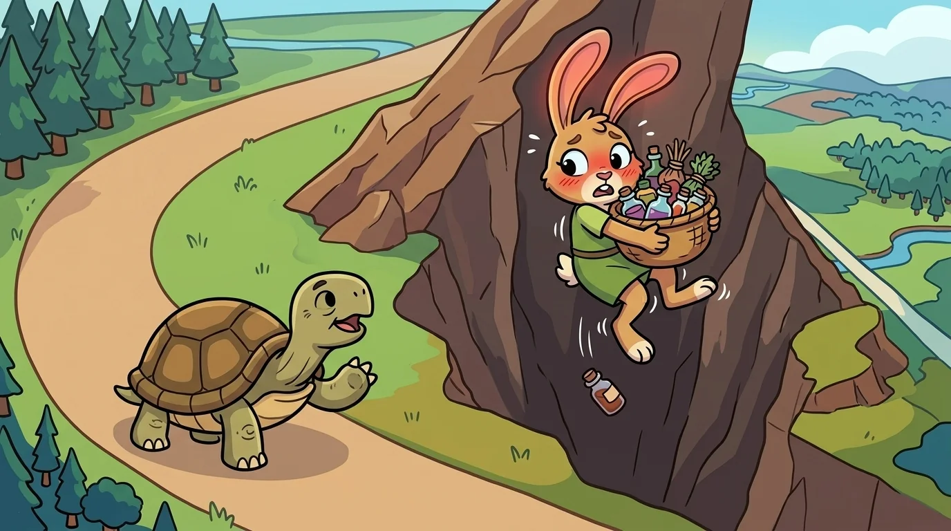
"When I was young I always took the shortest line, proud of it, sure that shortest meant smartest," he said. "Then one winter I took the short road over the pass with a heavy pack, and the short road was steep and iced, and it nearly cost me everything. The long valley road I'd scorned would have gotten me there slower and alive." He shook his head. "Shortest was best on the paper. It was worst for a person carrying what I carried, in the season I was in. That was the day I stopped confusing the map's shortest line with my best route."
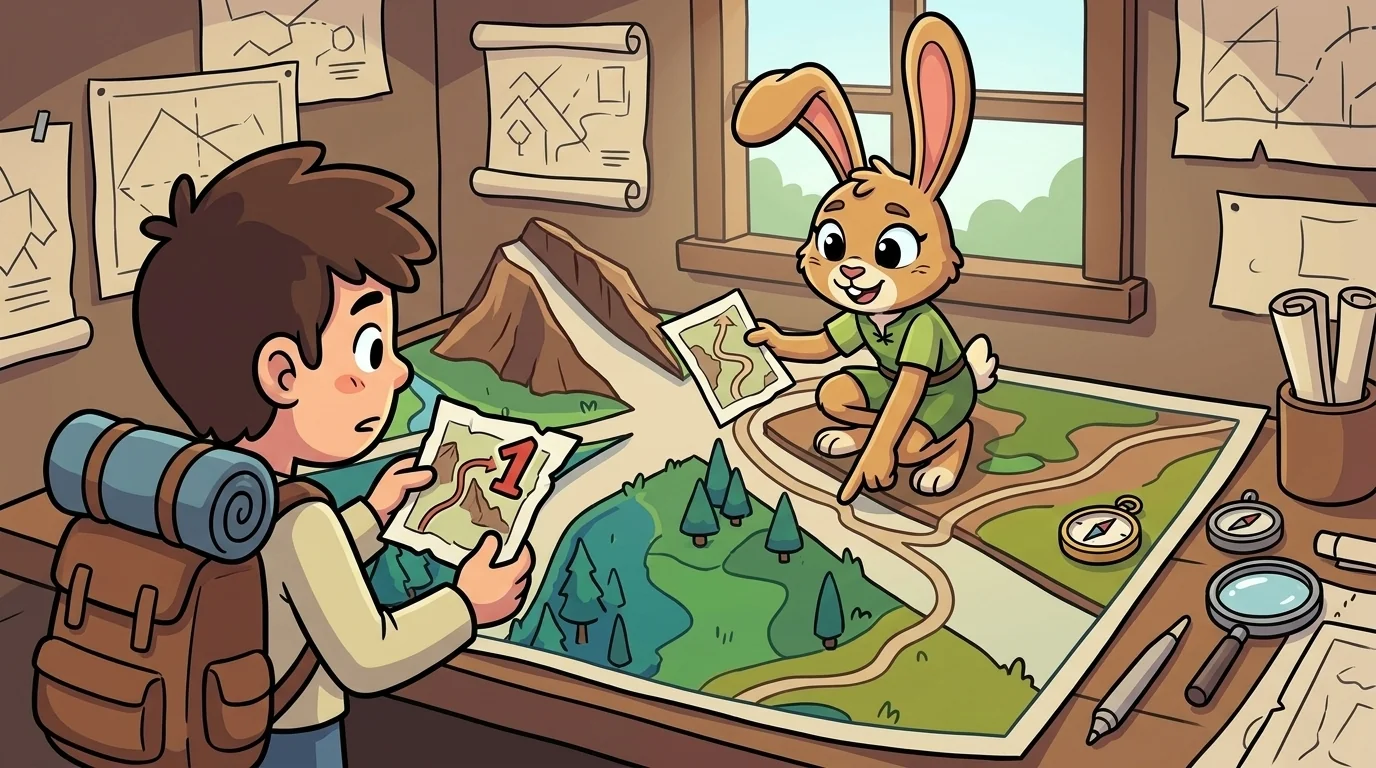
A student asked, half-annoyed, why a map couldn't just show the best way and be done with it.
"Because the moment it did, it would have to guess what you value — and it would guess wrong for most people," Course said. "Watch what happens when a route tool hides its weighting: it hands you one line labeled 'best' and you follow it into a toll road, or a highway you can't cycle, or a shortcut through a place you'd rather avoid — because its idea of 'best' wasn't yours, and it never told you. The honest tool shows you the options, tells you what it's weighing, and lets you set what matters." He smiled. "A map that decides for you silently is doing the one thing a map should never do — pretending your choice was a fact."
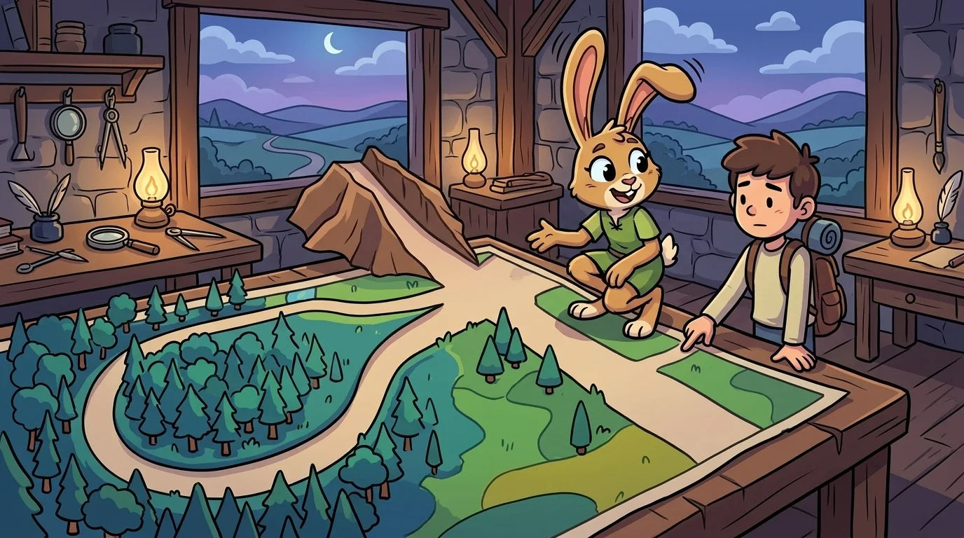
Later the student came back, thoughtful. "So how do I ever know I picked the right route?"
"You decide what you're optimizing for before you look at the lines," Course said. "Am I racing the dark? Then time. Am I carrying my grandmother? Then gentleness. Am I nervous about the weather? Then safety. Name your weight first, and the map suddenly has an answer — your answer, honestly derived." He laced his boots. "The mistake isn't picking a route. The mistake is letting the map's default quietly pick your values for you. Choose what matters, then let the map show you the way. That order — values first, map second — is the whole art of finding your course."
The student looked at the three lines again, and for the first time saw not one right road but a question about what she was carrying.
The MapForge ensemble
Course is part of MapForge's distributed-narrative cast. Each character embodies a different curricular primitive; together they teach the full subject.
-
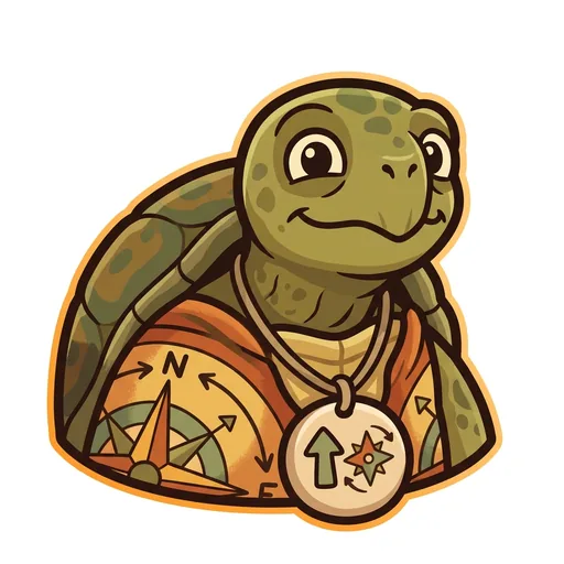
Bearing
Orientation — the tortoise-elder who treats north-up as a convention, not a truth ('north is one direction, not the direction'); teaches that orientation is a choice mapmakers make
-
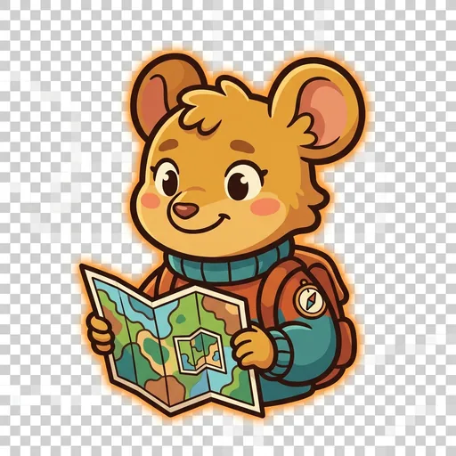
Inset
Scale — the field-mouse-tween with a folded map-within-a-map who teaches scale-choice as a political act ('bigger map, less detail; smaller map, more story — pick on purpose')
-
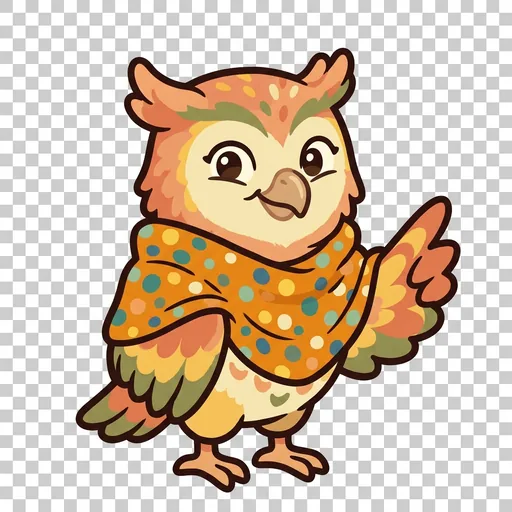
Key
Legend literacy — the owl-tween in a dot-shawl who treats the legend as the mapmaker's confession ('what's NOT on the map — that's also a map')
-
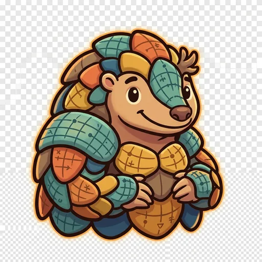
Plot
Coordinates — the pangolin-tween with graticule-scale armor who teaches that coordinate systems are human inventions, plural across cultures ('every place has many addresses; many cultures have many ways of saying here')
-
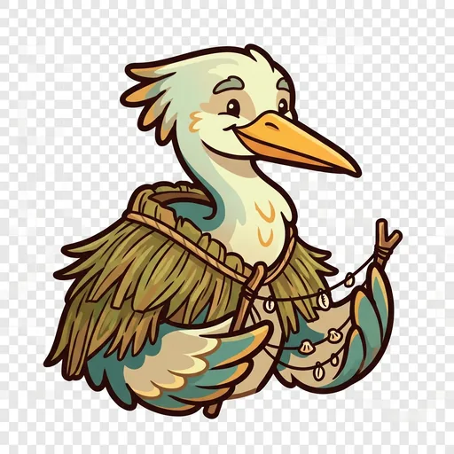
Wayfind
Non-Western mapping traditions — the heron-elder in a woven-grass cloak with stick-chart props who structurally elevates Polynesian wayfinding, Aboriginal songlines, and Indigenous TEK as peer cartographies ('some maps you sing, some you walk, some you only learn from elders')
-
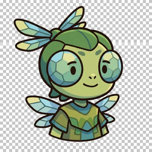
Facet
Thematic mapping — the same land mapped for different purposes
-
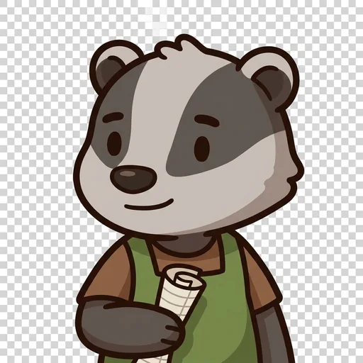
Mete
Borders — a line people agreed on, not a thing the land grew
-
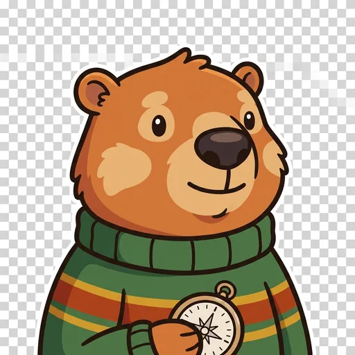
Relief
Relief — a flat map remembers the mountains; contour lines ring a hill
-
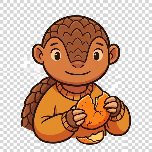
Splay
Projection — you cannot flatten a round world without stretching somewhere