Facet
THEMATIC MAPPING — a map can show more than places; the same land mapped for rain, for people, for language, for kindness tells a different true story each time, and choosing what to map is choosing what to make visible
Loading audio…
Press play to listen along. The line being read lights up as you go.
Show full transcript
Loading transcript…
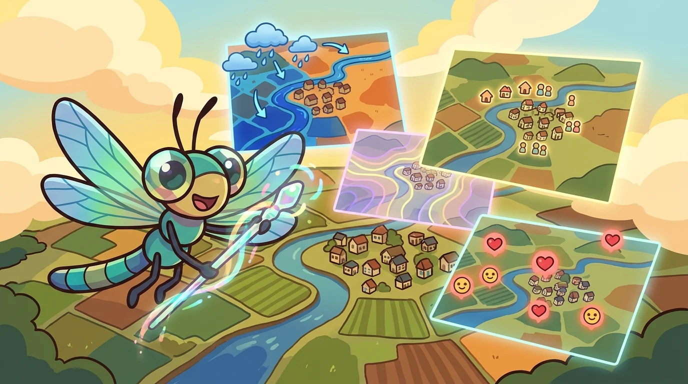
Atlas gave Facet a single blank outline of one country and asked for a map of it.
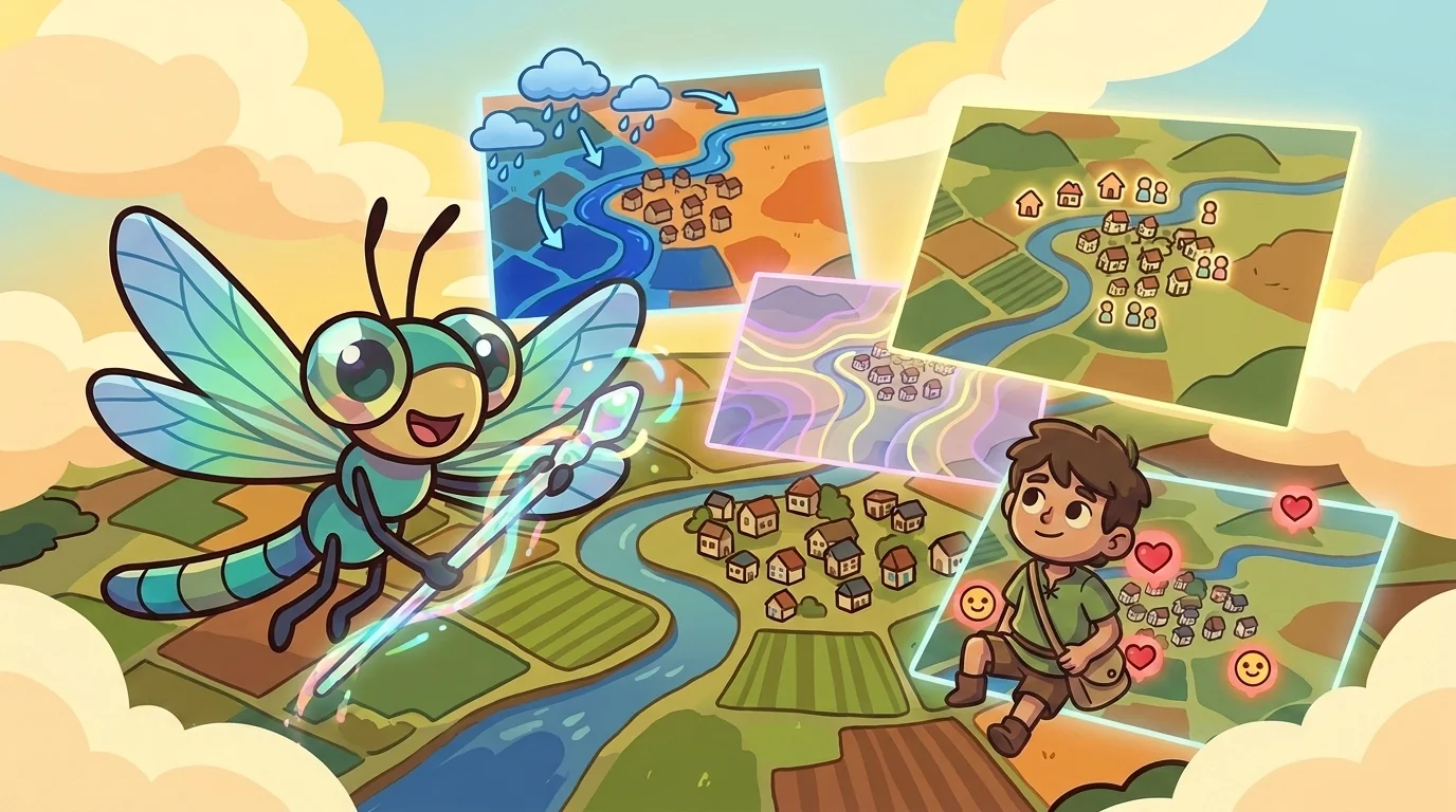
"Which map?" said Facet, delighted, already reaching for her paints. "You've given me the shape. But the shape is only the stage. On this exact same outline I can draw a dozen different true maps." She laid down a wash of blue. "Here it is mapped for rainfall — wet in the west, dry in the east. Now watch." She overlaid dots. "Here it is mapped for where people live — crowded on the coast, empty inland. Same land. Same border. Two completely different stories, both entirely true. A map doesn't only show where things are. It shows what a mapmaker chose to make you see."
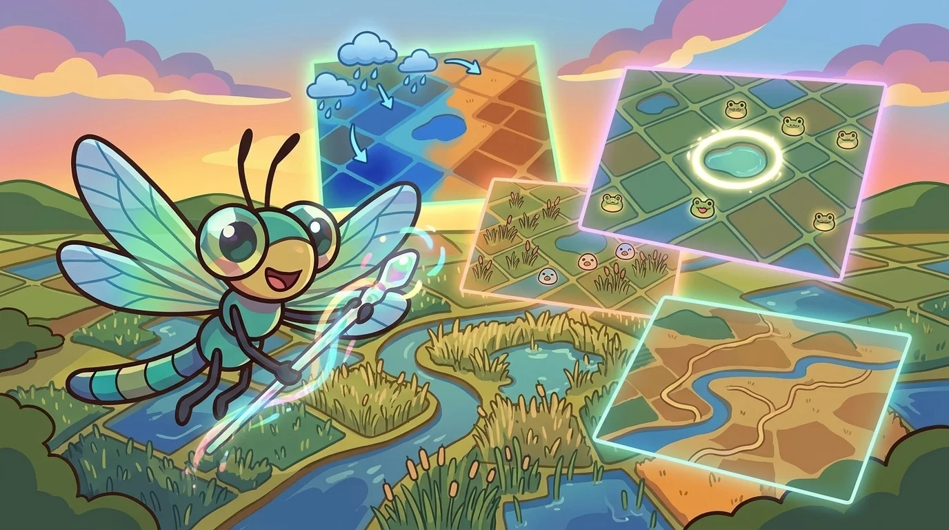
Facet taught the machinery of a thematic map, because the choices are technical as well as artistic.
"A thematic map takes one variable — rainfall, population, language, income — and paints the land by its value," she said. "The commonest kind is a choropleth, where each region is shaded by its number: darker for more, lighter for less. And here is where honesty lives or dies — in how you cut the numbers into shades." She showed two versions of the same data. "If I choose my breakpoints one way, this region looks alarming. Choose them another way, it looks calm. Same numbers. The classification — where I draw the line between 'a little' and 'a lot' — changes the whole impression. A careful mapmaker picks breaks that reveal the real pattern; a careless or sly one picks breaks that push a feeling."
The older students heard the subtext: the same true facts, arranged by different choices, can tell opposite-feeling stories — so how something is shown is never neutral.

Facet had learned the power of the choice by being fooled once.
"When I was young someone showed me a map shaded dark and dangerous-looking and I believed the place was terrible," she said. "Then I saw the data, and the numbers were ordinary — the mapmaker had just chosen shades and breakpoints that made the ordinary look frightening. Nothing on the map was false. And yet the map lied, with true numbers, through its choices." Her voice went quiet. "That was when I understood that a thematic map is an argument wearing the costume of a fact. It taught me to always ask: what variable did they choose, and how did they cut it?"
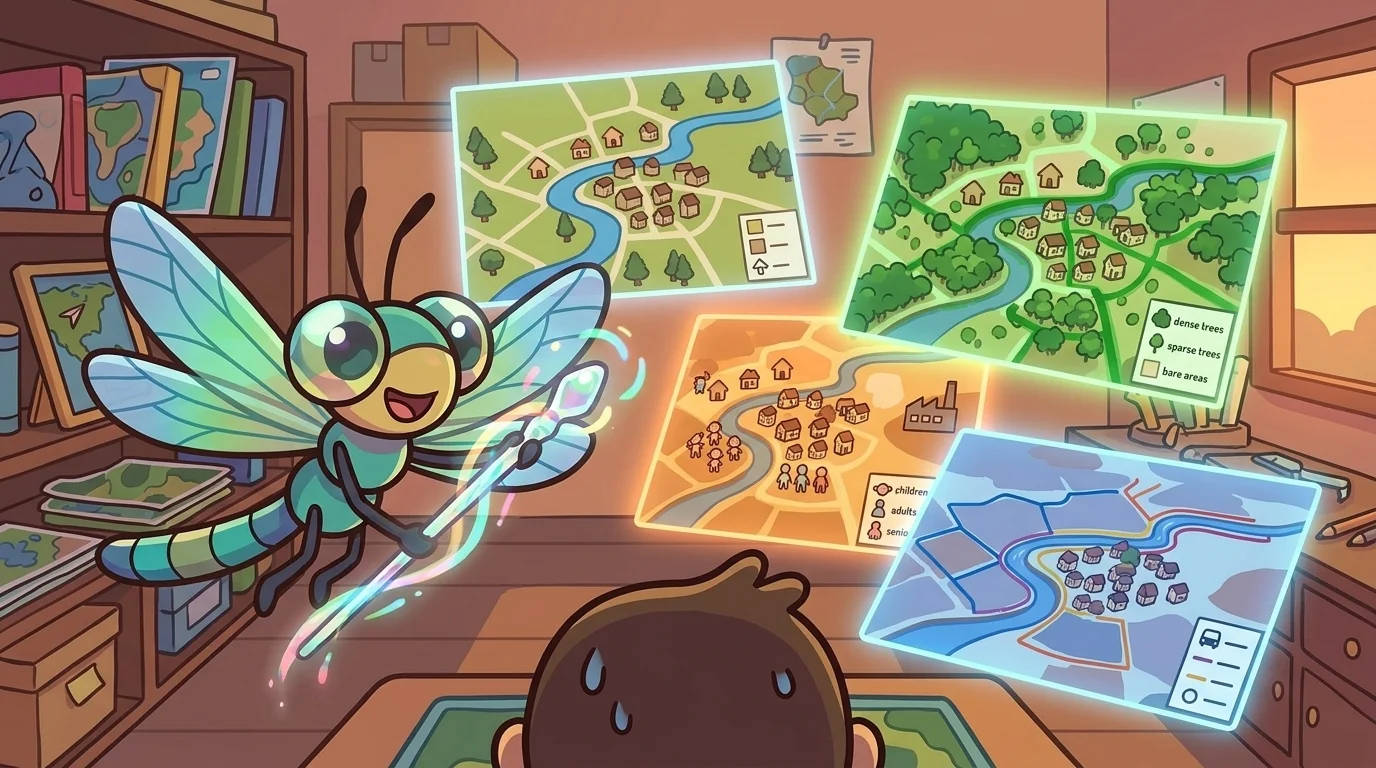
A student asked whether that meant thematic maps couldn't be trusted at all.
"The opposite — they're some of the most useful maps we have, if you read them awake," Facet said. "A rainfall map plans a harvest. A disease map stops an outbreak. A language map honors who lives somewhere. The power is real and good. You just have to read three things: what did they map, what did they leave out, and how did they classify it." She spread several maps of one city. "Mapped for wealth, this neighborhood vanishes into 'low.' Mapped for kindness — for who helps whom — it might glow. Neither is the whole truth. Each is a truth. Lay several beside each other and you start to see the place as it really is: many stories at once."
Later the student came back with the sharp question. "If every thematic map is a choice, how do I make an honest one?"
"You tell the reader your choices out loud," Facet said. "You name the variable. You show your breakpoints. You note what you left off and why. You let them see the seams." She handed over a brush. "The dishonest map hides that it chose — it wants you to think you're seeing the truth instead of a truth. The honest map says: here is what I decided to show you, and here is how I cut it; now judge for yourself. Mapping the same land many ways isn't confusing. It's the most honest thing a mapmaker can do — because it admits, out loud, that what you make visible is always a choice."
The student took the brush, looked at the blank outline, and for the first time asked not how do I map this but which of its many true stories am I choosing to tell.
The MapForge ensemble
Facet is part of MapForge's distributed-narrative cast. Each character embodies a different curricular primitive; together they teach the full subject.
-

Bearing
Orientation — the tortoise-elder who treats north-up as a convention, not a truth ('north is one direction, not the direction'); teaches that orientation is a choice mapmakers make
-
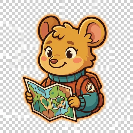
Inset
Scale — the field-mouse-tween with a folded map-within-a-map who teaches scale-choice as a political act ('bigger map, less detail; smaller map, more story — pick on purpose')
-
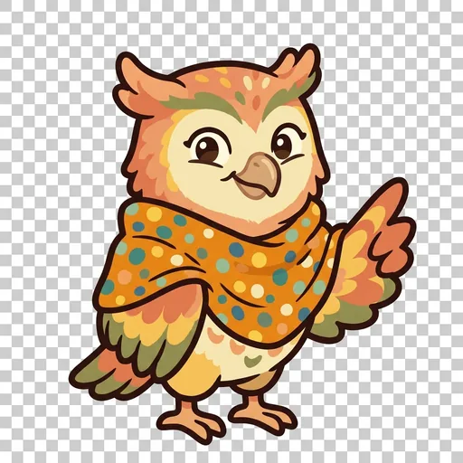
Key
Legend literacy — the owl-tween in a dot-shawl who treats the legend as the mapmaker's confession ('what's NOT on the map — that's also a map')
-
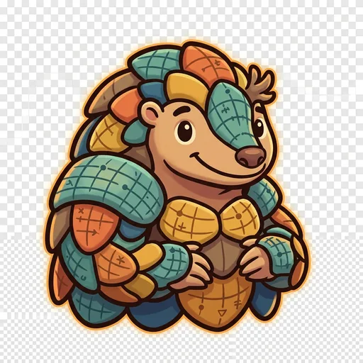
Plot
Coordinates — the pangolin-tween with graticule-scale armor who teaches that coordinate systems are human inventions, plural across cultures ('every place has many addresses; many cultures have many ways of saying here')
-
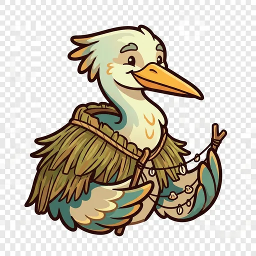
Wayfind
Non-Western mapping traditions — the heron-elder in a woven-grass cloak with stick-chart props who structurally elevates Polynesian wayfinding, Aboriginal songlines, and Indigenous TEK as peer cartographies ('some maps you sing, some you walk, some you only learn from elders')
-

Course
Routes — a map holds every way from here to there; which is best depends
-

Mete
Borders — a line people agreed on, not a thing the land grew
-
Relief
Relief — a flat map remembers the mountains; contour lines ring a hill
-
Splay
Projection — you cannot flatten a round world without stretching somewhere