Inset
SCALE — the ratio between map distance and real distance; a bigger scale shows a small area in rich detail, a smaller scale shows a wide area with less, and you pick the scale on purpose to fit what you need to show
Loading audio…
Press play to listen along. The line being read lights up as you go.
Show full transcript
Loading transcript…
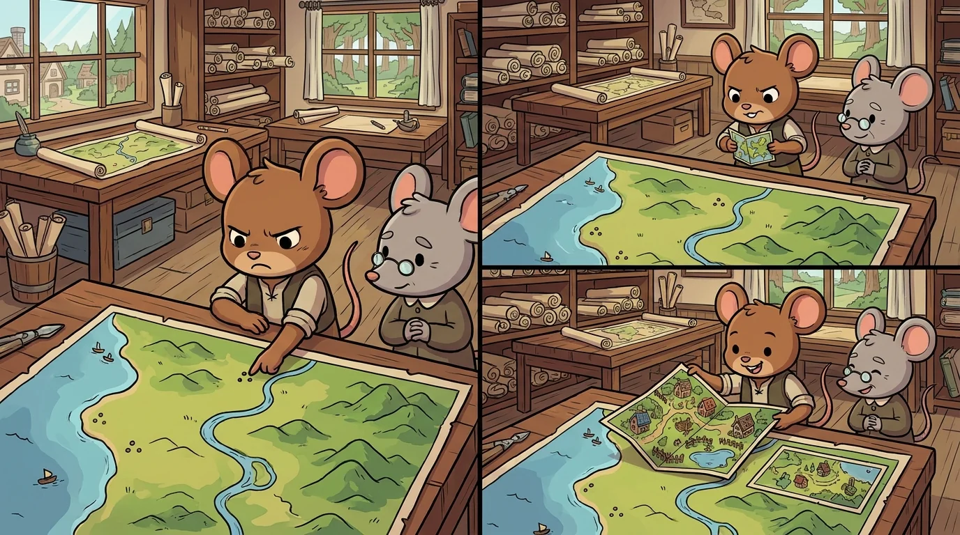
Atlas set a street map and a whole-country map side by side and asked Inset which one was drawn to the right scale.
"Both — for their own jobs," said Inset, a tidy figure with a folding ruler. "Scale isn't about right or wrong. It's a ratio: how much real distance fits into one step on the paper. A large scale, like this street map, means one small step on the page is one small step in the world — so you see doorways and alleys, rich detail, but only a few blocks. A small scale, like the country map, packs miles into every step — so you see the whole nation, but the alleys are long gone. Same real place, potentially. Different ratio, chosen for a different question."
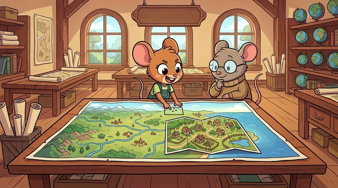
Inset taught the ratio precisely, because the number is the whole idea.
"We write scale as a ratio, like one to twenty-five thousand," she said. "That means one unit on the map equals twenty-five thousand of the same units in the world — one centimeter of paper is twenty-five thousand centimeters of ground. The smaller that second number, the larger the scale and the closer the zoom. It trips everyone up: a one-to-one-thousand map is 'larger scale' than a one-to-a-million map, even though a million sounds bigger." She unfolded her ruler. "And the trade is ironclad: a fixed sheet of paper can hold a lot of world roughly or a little world richly, never both. More reach means less detail. That's not a flaw. It's arithmetic — you only have so much paper for so much world."
The older students heard the subtext: you cannot cover everything in full detail at once, so choosing your scale is really choosing what you're willing to give up.
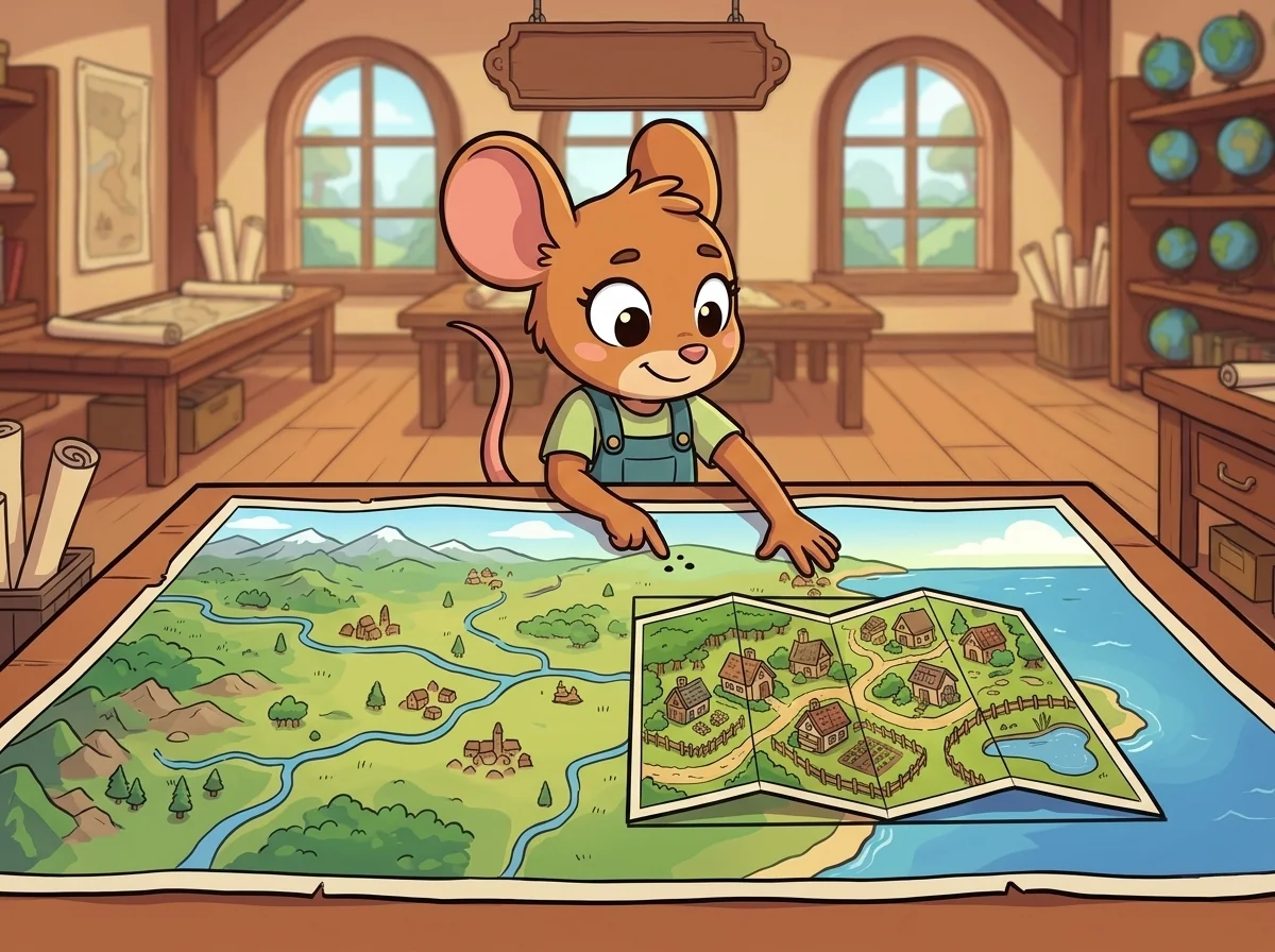
Inset had learned it by picking the wrong scale, embarrassingly.
"I once made a single map meant to show both a whole coastline and the tiny harbor at its heart," she said. "I wanted everything. So I got nothing — the coastline was cramped and the harbor was a smudge too small to read. I'd refused to choose a scale, and the map failed at both jobs at once." She smiled at the memory. "The fix wasn't a better ruler. It was accepting that one scale can't do everything — so I drew the coast at a small scale, and added an inset: a little box in the corner, zoomed in large-scale, showing the harbor in detail. Two scales, honestly, on purpose. That's why they named me for it."
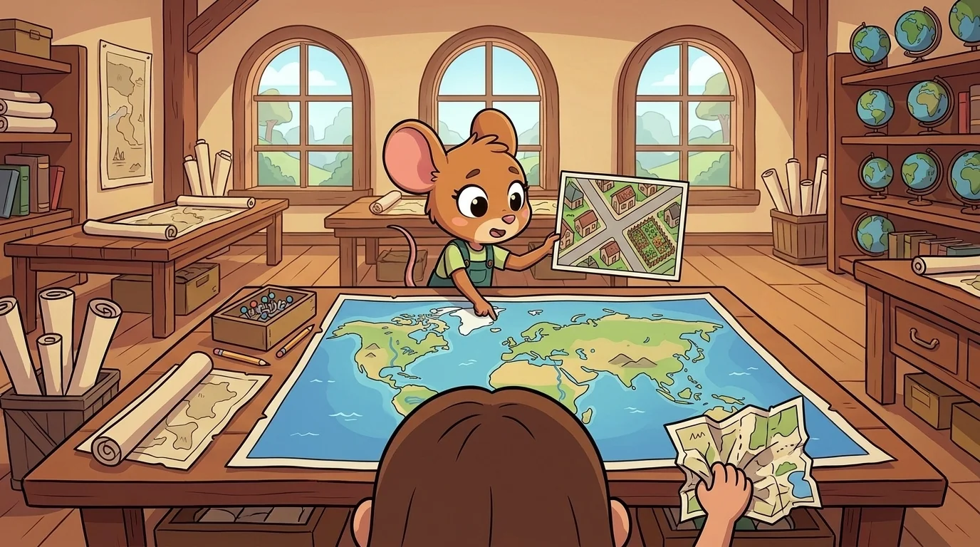
A student complained that his map looked either 'too zoomed in' or 'too zoomed out,' never right.
"Because you're choosing the scale by accident instead of on purpose," Inset said. "Ask the question first: what does the reader need to do with this? Walk a few streets? Large scale — zoom in, keep the detail. Understand where a country sits in the world? Small scale — zoom out, drop the detail you don't need. The 'right' scale is just the one that fits the task, and the task decides it, not your habit." She tapped his draft. "And if you genuinely need both — the wide view and the close detail — don't fight the arithmetic. Use an inset. Give each job the scale it deserves instead of forcing one scale to fail at both."
The student redrew his map at one clear scale, tucked an inset in the corner for the close-up, and suddenly both parts read cleanly.
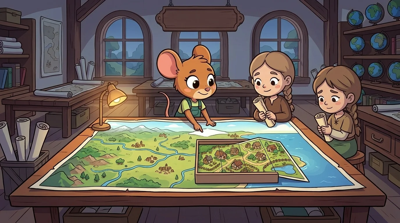
Later the student came back. "Is there a scale that's just… the true one? The realest one?"
"The realest map of a place would be the same size as the place — and utterly useless, because you couldn't carry it or see it all at once," Inset said, laughing gently. "Every usable map is smaller than reality, which means every usable map has given something up. There is no true scale, only a scale chosen well for a purpose. The honest mapmaker names the scale right on the map — a ratio, a little bar — so you know exactly how much world each step is standing in for." She folded her ruler shut. "That bar is a promise: this is how much I shrank the world for you. Read it first, and you'll never misjudge a distance again."
The student found the scale bar on his own map, measured a street against it, and watched the paper turn back into real, walkable ground.
The MapForge ensemble
Inset is part of MapForge's distributed-narrative cast. Each character embodies a different curricular primitive; together they teach the full subject.
-
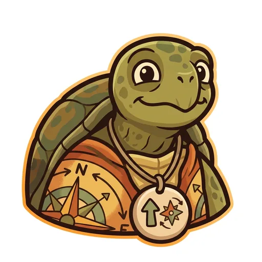
Bearing
Orientation — the tortoise-elder who treats north-up as a convention, not a truth ('north is one direction, not the direction'); teaches that orientation is a choice mapmakers make
-
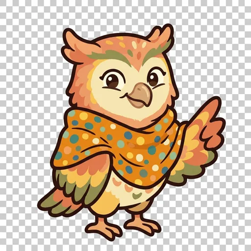
Key
Legend literacy — the owl-tween in a dot-shawl who treats the legend as the mapmaker's confession ('what's NOT on the map — that's also a map')
-
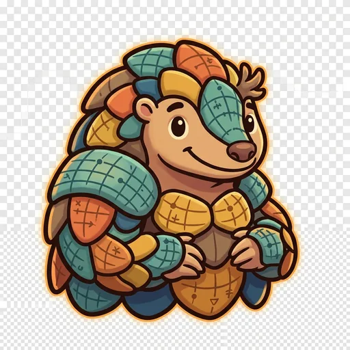
Plot
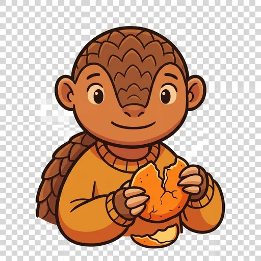
Coordinates — the pangolin-tween with graticule-scale armor who teaches that coordinate systems are human inventions, plural across cultures ('every place has many addresses; many cultures have many ways of saying here')
-
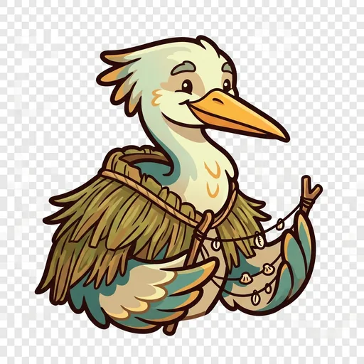
Wayfind
Non-Western mapping traditions — the heron-elder in a woven-grass cloak with stick-chart props who structurally elevates Polynesian wayfinding, Aboriginal songlines, and Indigenous TEK as peer cartographies ('some maps you sing, some you walk, some you only learn from elders')
-
Course
Routes — a map holds every way from here to there; which is best depends
-

Facet
Thematic mapping — the same land mapped for different purposes
-

Mete
Borders — a line people agreed on, not a thing the land grew
-
Relief
Relief — a flat map remembers the mountains; contour lines ring a hill
-
Splay
Projection — you cannot flatten a round world without stretching somewhere