Mete
BORDERS — a border is a line people agreed on, not a feature the land grew; the same river a map calls an edge, the land just calls a river, and knowing a boundary is a human agreement is how you read a map without mistaking a choice for nature
Loading audio…
Press play to listen along. The line being read lights up as you go.
Show full transcript
Loading transcript…
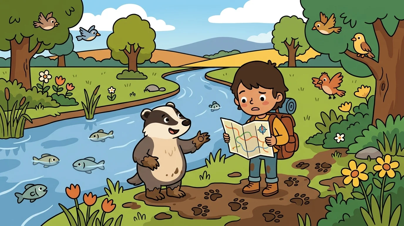
Atlas traced a bold line across a map — following a river for a while, then cutting straight across open country — and asked Mete what natural feature the straight part followed.
"None," said Mete, a careful figure with a surveyor's chain. "That's the whole lesson. Where the line follows the river, people borrowed a feature the land already had. But this straight stretch? The land grew nothing there. Someone drew it — measured it, agreed on it, wrote it down. A border is a line people agreed on, not a thing the land produced. The river existed before any map. The border is a human decision laid on top of it."
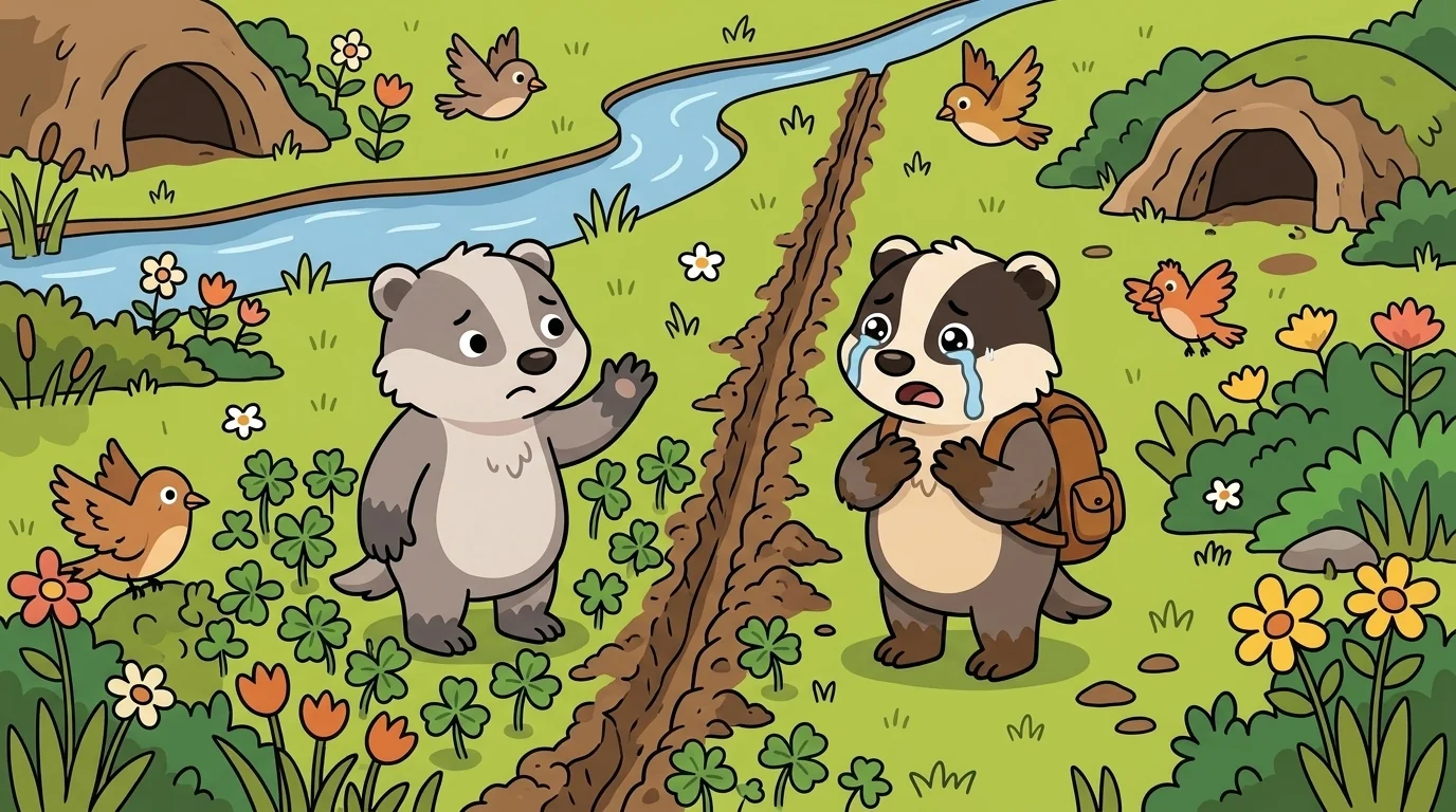
Mete taught the two kinds of boundary, because reading a map means telling them apart.
"There are boundaries that trace a natural feature — a river, a ridgeline, a coast — and boundaries that are pure agreement, often dead-straight lines of latitude or longitude drawn across whatever happens to be there," Mete said. "The straight ones give it away instantly: nature almost never makes a perfectly straight line hundreds of miles long. Where you see one on a map, you're looking at a decision, not a landform." She let the chain hang. "And even the 'natural' ones are choices. A river is not an edge — it's a river, with people and life on both banks who may have far more in common with each other than with anyone far away. Calling it a border is something people did. The map shows the line as bold and permanent. The land underneath just keeps being land."
The older students heard the subtext, carefully framed: a line that looks permanent and natural on paper may be a human agreement — and knowing which is which keeps you from mistaking someone's decision for a law of the world.
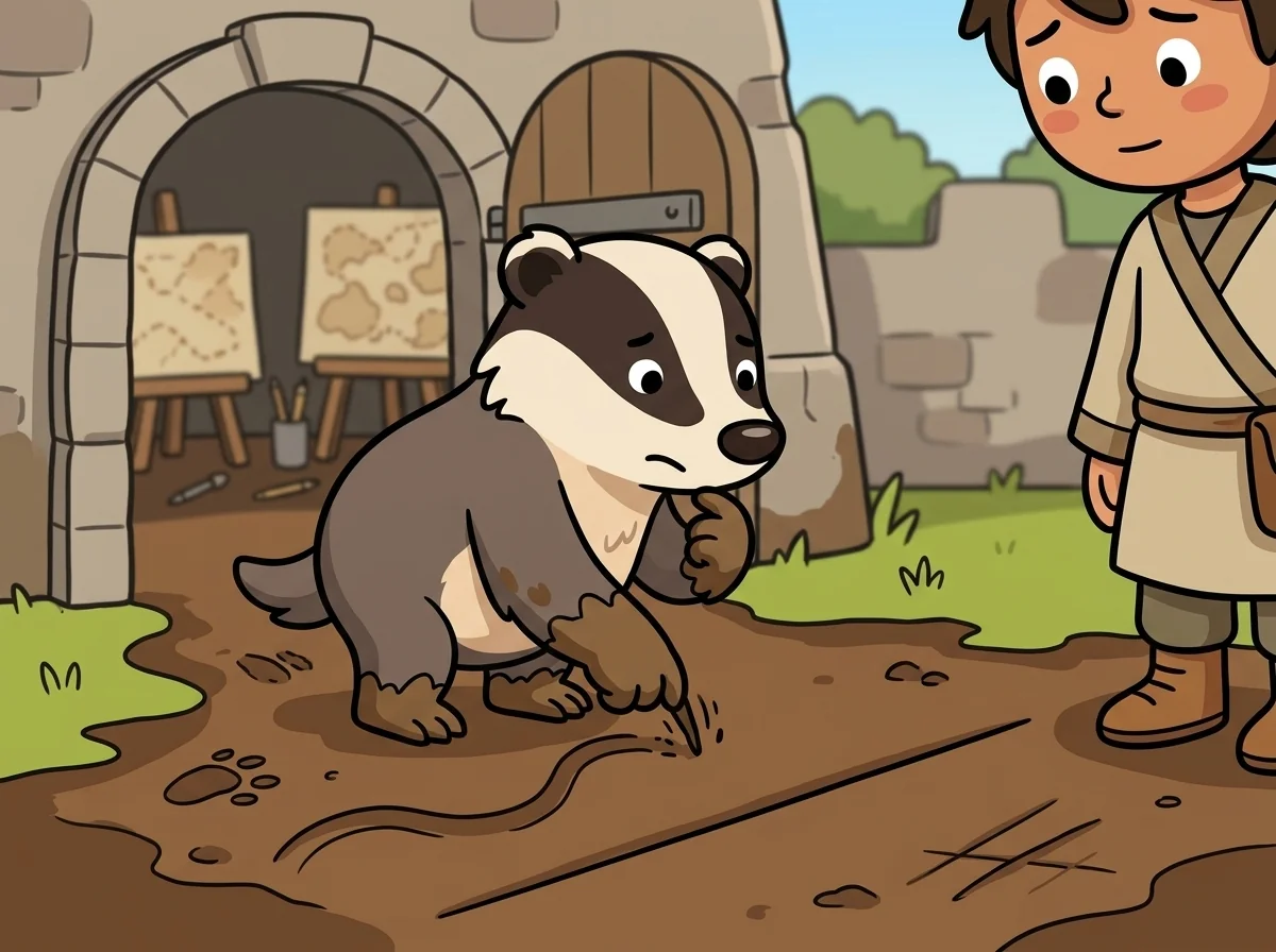
Mete had learned to see the seam by surveying one herself.
"When I was young I helped mark a boundary on the ground, and I expected to find something there — a change in the soil, the trees, the air," she said. "There was nothing. The same grass grew on both sides. The same birds crossed it without a glance. The line was real only because people agreed it was, and had written it into their maps and their laws." Her voice stayed even. "That didn't make it fake — agreements are real and they matter enormously to the people bound by them. But it cured me forever of thinking a border was a thing the land had. It's a thing people keep, by agreeing to, again and again."
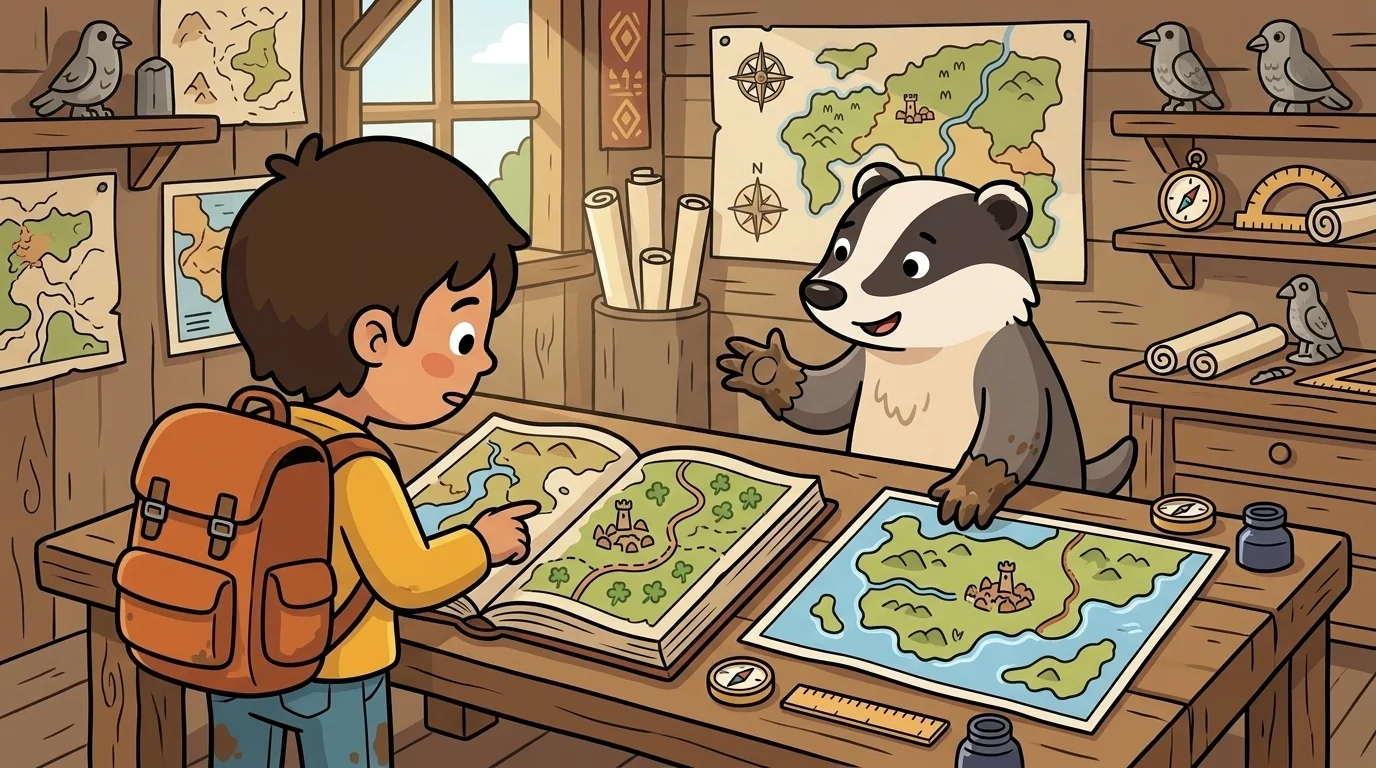
A student asked, uneasy, whether that meant borders 'weren't real.'
"They're real the way a promise is real — real because people uphold it, not because the ground enforces it," Mete said, gently and neutrally. "That's an important difference to hold, and to hold respectfully. The line means a great deal to the people whose lives it shapes; you never wave it away. But you also read it awake — you remember that a map's bold boundary is showing you an agreement among people, drawn at some moment in time, and not a permanent feature the earth grew." She coiled her chain. "The mapmaker's honest job is to draw the agreed line clearly while never pretending the land itself made it. And the reader's honest job is the mirror of that: to see the line, respect what it means to people, and still know it for what it is — a human line, on a land that never drew one."
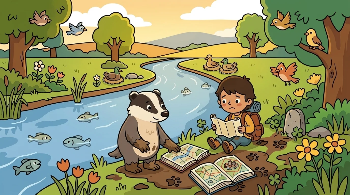
Later the student came back, quieter. "So how should a careful person read a border on a map?"
"With both eyes open," Mete said. "One eye that takes it seriously — this line organizes real lives, real laws, real belonging. One eye that remembers it's an agreement — made by people, at a time, and (like all agreements) something people, not the land, maintain." She smiled, level and kind. "A map that draws borders honestly draws them clearly and leaves the rivers and ridges visible underneath, so you can see the land's own lines and the human lines both, and never confuse the two. That's the skill: to honor the line people drew, and still see the land that never drew it."
The student looked again at the bold line following the river, then leaving it — and saw, for the first time, exactly where the land's decision ended and the people's began.
The MapForge ensemble
Mete is part of MapForge's distributed-narrative cast. Each character embodies a different curricular primitive; together they teach the full subject.
-
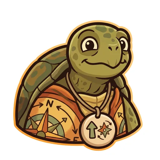
Bearing
Orientation — the tortoise-elder who treats north-up as a convention, not a truth ('north is one direction, not the direction'); teaches that orientation is a choice mapmakers make
-
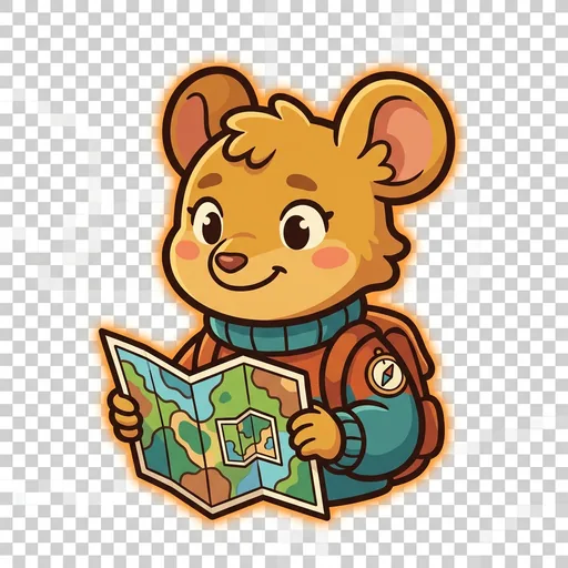
Inset
Scale — the field-mouse-tween with a folded map-within-a-map who teaches scale-choice as a political act ('bigger map, less detail; smaller map, more story — pick on purpose')
-
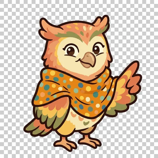
Key
Legend literacy — the owl-tween in a dot-shawl who treats the legend as the mapmaker's confession ('what's NOT on the map — that's also a map')
-
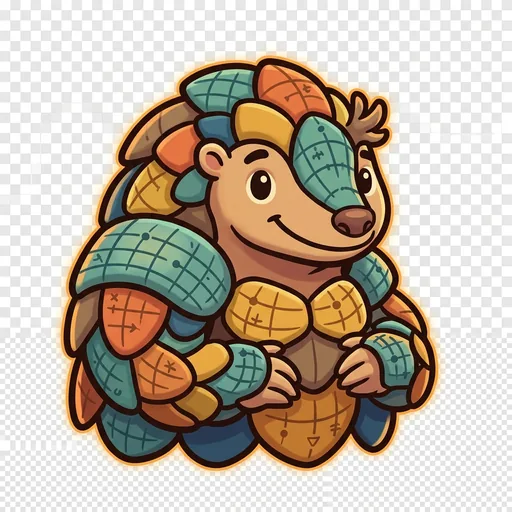
Plot
Coordinates — the pangolin-tween with graticule-scale armor who teaches that coordinate systems are human inventions, plural across cultures ('every place has many addresses; many cultures have many ways of saying here')
-
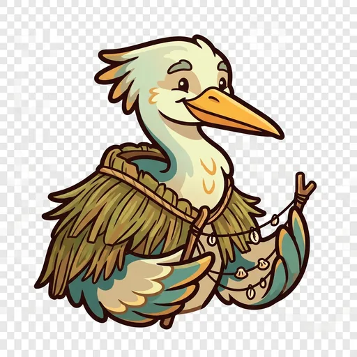
Wayfind
Non-Western mapping traditions — the heron-elder in a woven-grass cloak with stick-chart props who structurally elevates Polynesian wayfinding, Aboriginal songlines, and Indigenous TEK as peer cartographies ('some maps you sing, some you walk, some you only learn from elders')
-
Course
Routes — a map holds every way from here to there; which is best depends
-
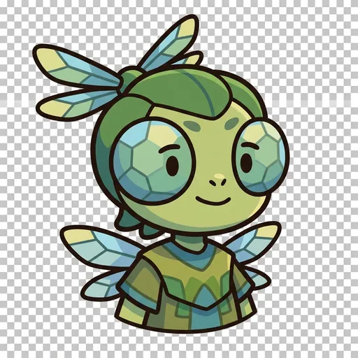
Facet
Thematic mapping — the same land mapped for different purposes
-
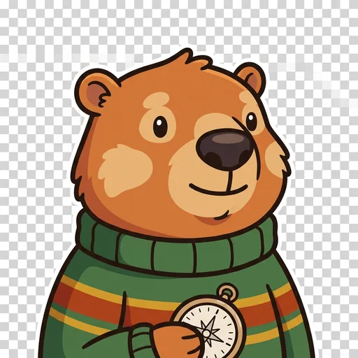
Relief
Relief — a flat map remembers the mountains; contour lines ring a hill
-
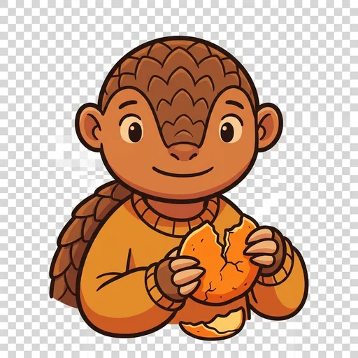
Splay
Projection — you cannot flatten a round world without stretching somewhere