Plot
COORDINATES — a coordinate is an agreed pair of numbers that names exactly one place, so anyone sharing the system can find it; every place has many addresses, and many cultures have many honest ways of saying 'here'
Loading audio…
Press play to listen along. The line being read lights up as you go.
Show full transcript
Loading transcript…
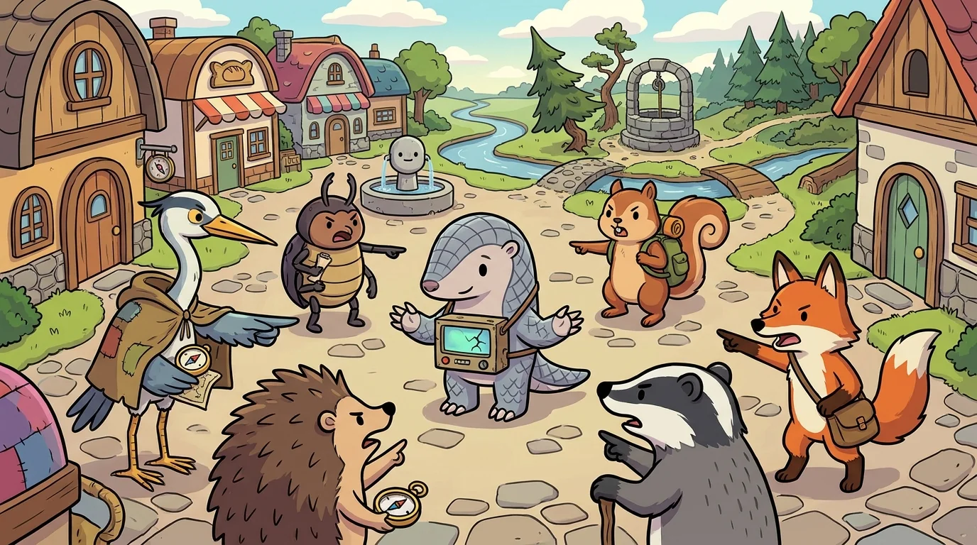
Atlas asked Plot to describe exactly where a single tree stood in a wide, featureless field.
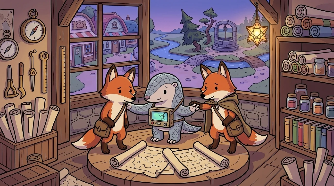
"Depends who I'm telling," said Plot, a precise figure with a grid inked on one sleeve. "I could say 'the tree by the bend in the creek' — a landmark address, perfect if you know the creek. Or 'two hundred paces north of the well' — a relative address. Or I could give you coordinates: two numbers that name this exact spot on a grid the whole world has agreed to share. Latitude — how far north or south — and longitude — how far east or west. With those two numbers, a stranger who has never seen this field can find this one tree out of all the trees on Earth."
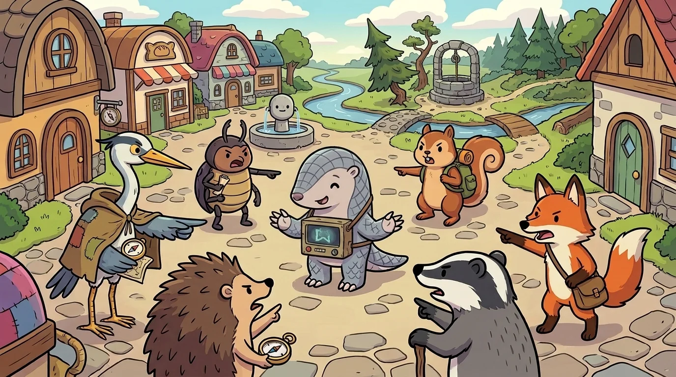
Plot taught why the coordinate works, because it's a small marvel of agreement.
"A coordinate is two numbers, and by themselves they mean nothing," Plot said. "The magic isn't in the numbers — it's in the grid everyone agreed on first. We drew imaginary lines around the whole planet: latitude lines ringing it like belts, from zero at the equator to ninety at each pole; longitude lines running pole to pole, from a zero we all agreed to call the prime meridian. Once everyone shares that grid, a pair of numbers pins down one place with no ambiguity at all." He tapped his sleeve. "That's the deep idea: a coordinate system is a shared agreement that turns two numbers into a single certain place. Change the agreed grid, and the same numbers point somewhere else entirely — which is exactly why two systems must never be mixed."
The older students heard the subtext: precision between people isn't magic, it's a shared framework agreed on in advance — two numbers only mean one place because everyone decided they would.

Plot had learned the danger of un-shared systems by getting it wrong once.
"I once gave someone coordinates and they arrived at the wrong place entirely — miles off," he said. "The numbers were right. But I'd read them off one grid and they'd plotted them on another, slightly different one. We hadn't confirmed we shared the same agreement, so our two 'heres' didn't match." He shook his head. "That's the whole risk of any coordinate: it's only as good as the shared system behind it. Same numbers, different agreed grid, different real spot. Ever since, I state the system first, then the numbers — never the numbers alone."
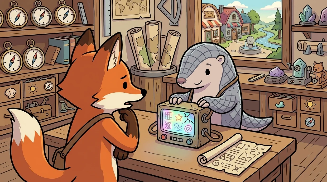
A student asked whether coordinates were just the 'real,' best way to name a place, better than a landmark or a story.
"Better for some jobs, not all — and I'd never call the others lesser," Plot said. "Coordinates are unbeatable when you need exactness between strangers who share nothing but the grid — a ship at sea, a rescue, a data set. But 'the house with the red door,' 'just past the old mill,' 'where my grandmother was born' — these are also true addresses, and for the people who share that knowledge they're often warmer and clearer than a pair of numbers." He smiled. "Every place has many honest addresses, and many cultures have many honest ways of saying here — some by grid, some by landmark, some by story or song. The coordinate is one powerful way. It isn't the only true one. It's the one that works when the only thing two people share is the map."
Later the student came back. "So when should I actually use coordinates?"
"When you need to hand your exact spot to someone who can't see what you see and doesn't know your landmarks," Plot said. "Then two numbers on a shared grid beat a thousand words. But always give the system with the numbers — say which grid, which format — so your 'here' and their 'here' are guaranteed the same." He inked a tiny pair of crosshairs. "A coordinate is a promise that says: if we share this grid, these two numbers mean this one place and no other. State the grid, give the numbers, and you can point a stranger to a single tree in a field from the other side of the world. That's the quiet power of an agreement everyone keeps."
The student wrote a coordinate, and beside it named the system — and for the first time her here was one that anyone, anywhere, could find.
The MapForge ensemble
Plot is part of MapForge's distributed-narrative cast. Each character embodies a different curricular primitive; together they teach the full subject.
-
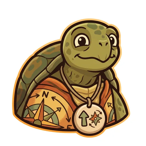
Bearing
Orientation — the tortoise-elder who treats north-up as a convention, not a truth ('north is one direction, not the direction'); teaches that orientation is a choice mapmakers make
-
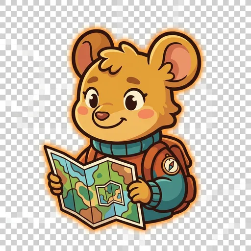
Inset
Scale — the field-mouse-tween with a folded map-within-a-map who teaches scale-choice as a political act ('bigger map, less detail; smaller map, more story — pick on purpose')
-
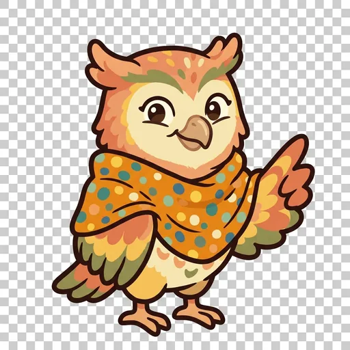
Key
Legend literacy — the owl-tween in a dot-shawl who treats the legend as the mapmaker's confession ('what's NOT on the map — that's also a map')
-
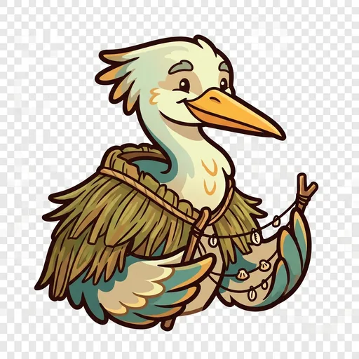
Wayfind
Non-Western mapping traditions — the heron-elder in a woven-grass cloak with stick-chart props who structurally elevates Polynesian wayfinding, Aboriginal songlines, and Indigenous TEK as peer cartographies ('some maps you sing, some you walk, some you only learn from elders')
-
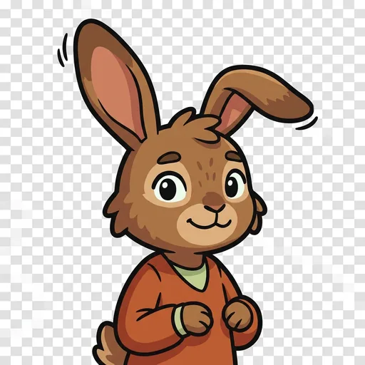
Course
Routes — a map holds every way from here to there; which is best depends
-
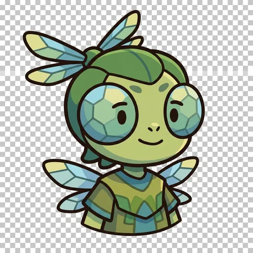
Facet
Thematic mapping — the same land mapped for different purposes
-

Mete
Borders — a line people agreed on, not a thing the land grew
-
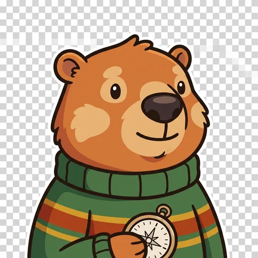
Relief
Relief — a flat map remembers the mountains; contour lines ring a hill
-
Splay
Projection — you cannot flatten a round world without stretching somewhere