Relief
RELIEF — a flat map can remember the third dimension using contour lines: each line rings all the points at one height, lines crowded close mean steep, lines spread wide mean gentle, so height is stored in the spacing
Loading audio…
Press play to listen along. The line being read lights up as you go.
Show full transcript
Loading transcript…
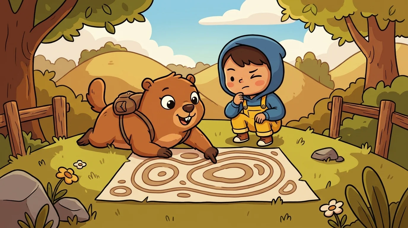
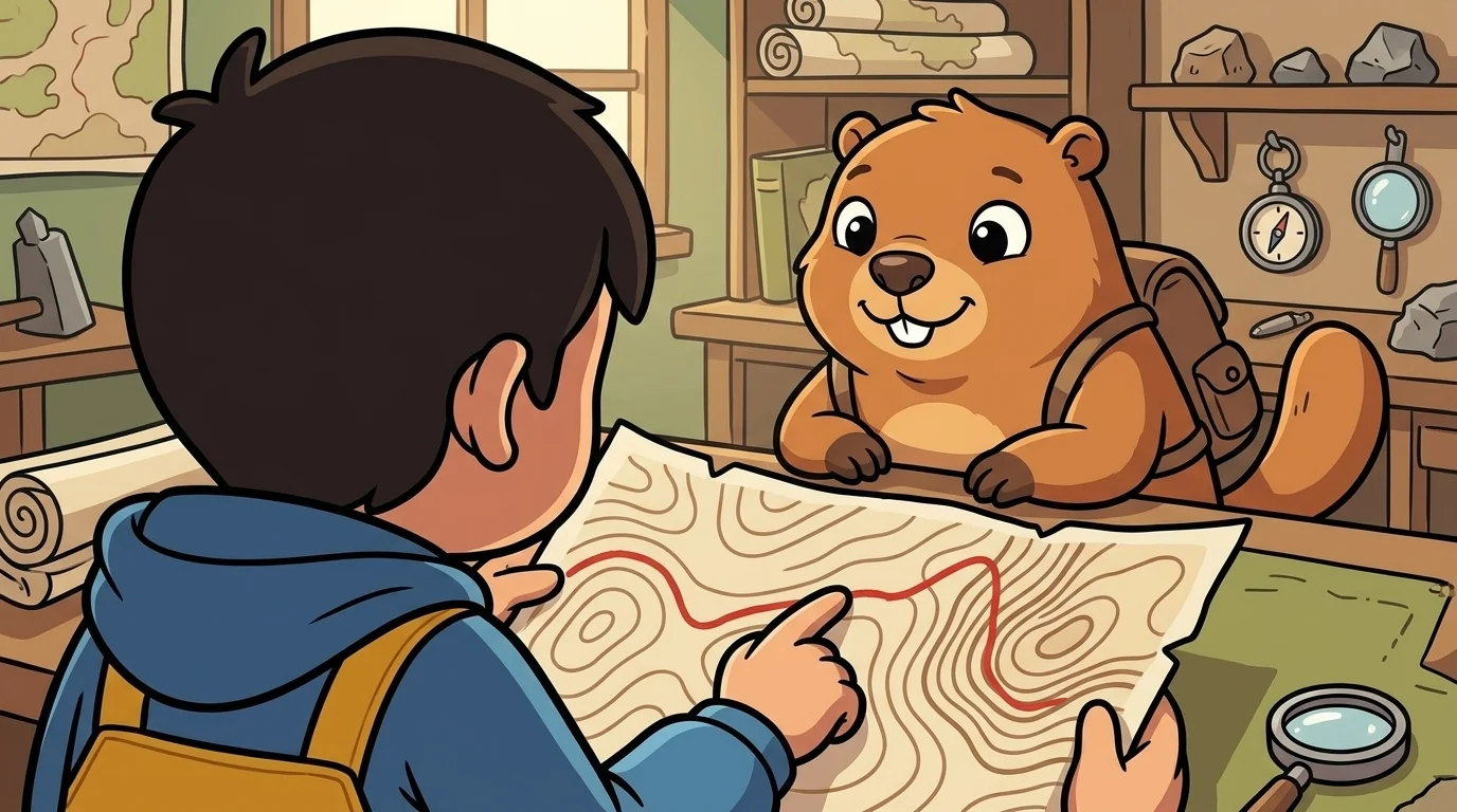
Atlas laid a flat map covered in curving nested lines and asked Relief where the mountain was.
"Right here — you're looking at it," said Relief, a calm figure who traced the lines like reading braille. "People expect a mountain on a map to stick up, or at least be shaded dark. But this map remembers height a cleverer way, with contour lines. Each of these curving lines connects all the points that are at the same height — walk along one and you never go up or down. The mountain isn't drawn tall. Its height is stored in how these lines are arranged. Nothing pokes up off the paper, and yet the whole shape of the hill is right here to read."
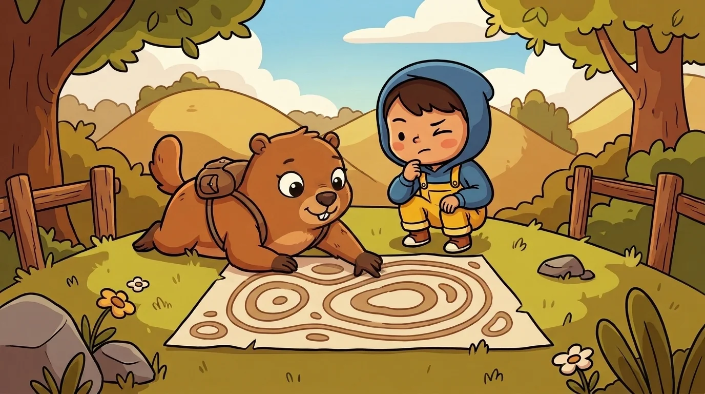
Relief taught how to read the height out of the spacing, because that's the real skill.
"Every contour line is one height — say, each line is ten meters higher than the last; that step is called the contour interval," Relief said. "So the rule that unlocks the whole map is about spacing. Where the lines crowd close together, height is changing fast over a short distance — that's steep. Where the lines spread far apart, height changes slowly — that's gentle. Cliffs are lines almost touching. Plains are lines far apart or absent." She traced a ring. "Nested closed loops, smaller and smaller, climbing to a tiny loop at the middle — that's a peak. The same rings with the lowest at the center — that's a pit or a valley. Once you read spacing as steepness, a page of quiet lines becomes a landscape you can feel with your eyes."
The older students heard the subtext: a whole missing dimension can be perfectly preserved in something as humble as the distance between lines, if you know the code.
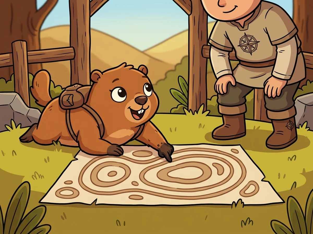
Relief had learned to trust the lines by being surprised by them.
"When I was young I thought contour lines were just decoration — pretty swirls," she said. "Then I planned a walk that looked short on the map and nearly broke me, because right across my route the lines were packed tight as a fingerprint. I'd ignored the spacing, so I'd walked into a wall of a hill I never saw coming." She smiled ruefully. "After that I read the spacing before I read anything else. A map with contours never hides its mountains — it just refuses to shout about them. The steepness was there the whole time, written plainly in how close the lines ran. I simply hadn't learned to hear it yet."
A student complained that contour maps looked like confusing scribble compared to a nice shaded 3-D picture.
"A shaded picture shows you the mountain; a contour map tells you its exact heights," Relief said. "The picture is prettier at a glance. But try to answer 'how high is this ridge?' or 'how steep is this slope?' from a shaded painting — you can't, not precisely. From contours you can, to the meter, by counting lines and reading the interval." She overlaid the two. "That's the trade. The contour map gives up looking dramatic in exchange for being measurable. For a hiker judging a climb, a builder grading a road, a river-watcher predicting a flood, measurable beats dramatic every time. The scribble is only scribble until you know that every line is a height and every spacing is a slope."
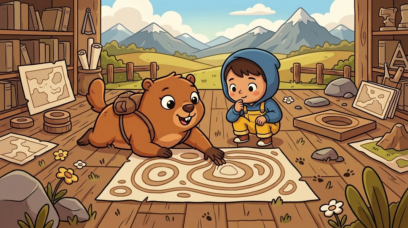
Later the student came back, tracing the lines himself. "So how do I actually 'see' the land in these?"
"Find the closed loops first — those are your hills and hollows," Relief said. "Check the numbers to tell a peak from a pit. Then read the spacing everywhere else: tight means brace yourself, wide means easy going. Follow a single line and know you're walking level. Cross many lines quickly and know you're climbing hard." She set his finger on a ring. "The map isn't flat, not really. It's a mountain lying down, remembering its whole height in the spacing of its lines — and now that you can read the spacing, you'll never again mistake a steep climb for a stroll."
The student traced the tightening rings up to the little loop at the summit, and felt the mountain rise off the flat page in his mind.
The MapForge ensemble
Relief is part of MapForge's distributed-narrative cast. Each character embodies a different curricular primitive; together they teach the full subject.
-
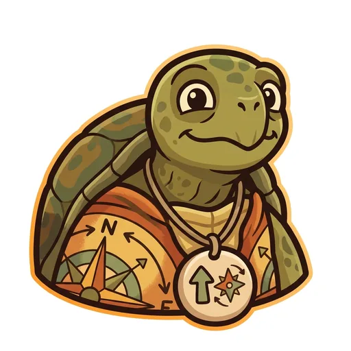
Bearing
Orientation — the tortoise-elder who treats north-up as a convention, not a truth ('north is one direction, not the direction'); teaches that orientation is a choice mapmakers make
-
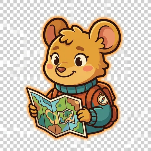
Inset
Scale — the field-mouse-tween with a folded map-within-a-map who teaches scale-choice as a political act ('bigger map, less detail; smaller map, more story — pick on purpose')
-
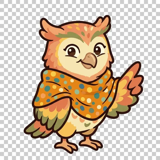
Key
Legend literacy — the owl-tween in a dot-shawl who treats the legend as the mapmaker's confession ('what's NOT on the map — that's also a map')
-
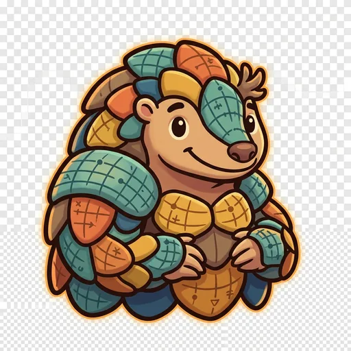
Plot
Coordinates — the pangolin-tween with graticule-scale armor who teaches that coordinate systems are human inventions, plural across cultures ('every place has many addresses; many cultures have many ways of saying here')
-
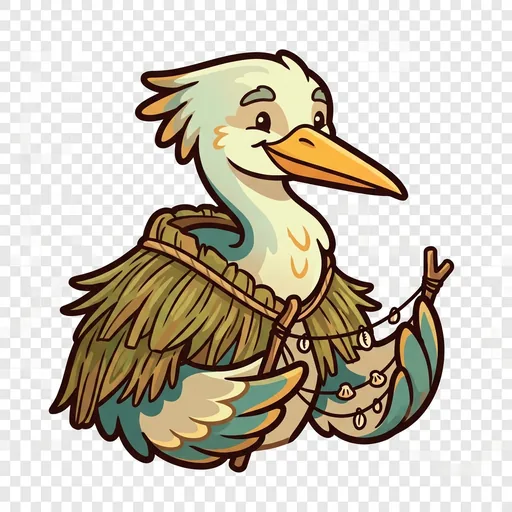
Wayfind
Non-Western mapping traditions — the heron-elder in a woven-grass cloak with stick-chart props who structurally elevates Polynesian wayfinding, Aboriginal songlines, and Indigenous TEK as peer cartographies ('some maps you sing, some you walk, some you only learn from elders')
-
Course
Routes — a map holds every way from here to there; which is best depends
-
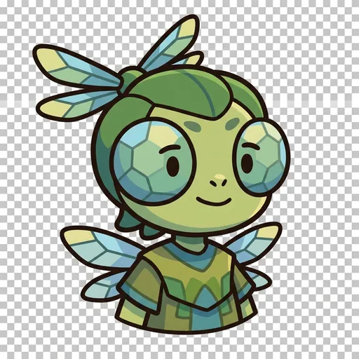
Facet
Thematic mapping — the same land mapped for different purposes
-

Mete
Borders — a line people agreed on, not a thing the land grew
-
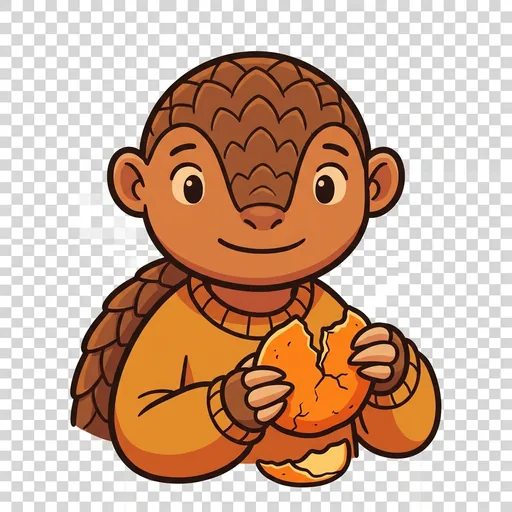
Splay
Projection — you cannot flatten a round world without stretching somewhere