Mete and Course
METE & COURSE — many of a map's most powerful lines were drawn by people, not the land; Mete's lines divide (borders), Course's lines connect (routes), and the very same river can be one person's wall and another's road — a human meaning laid over the land's own line
Loading audio…
Press play to listen along. The line being read lights up as you go.
Show full transcript
Loading transcript…
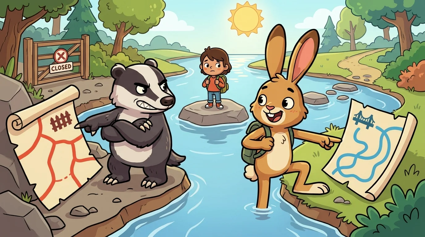
Atlas set a map between the two of them — Mete with her surveyor's chain, Course with his worn boots — and pointed at a single blue river winding across it.
"Tell the class what that river is," Atlas said.
"A border," said Mete. "A dividing line. Everything on this side is one thing; everything on that side is another. My lines separate."
"A road," said Course, at the very same moment. "A way to travel — follow the water and it carries you from the mountains all the way to the sea. My lines connect."
They looked at each other, and then at the one blue line that was, somehow, both.
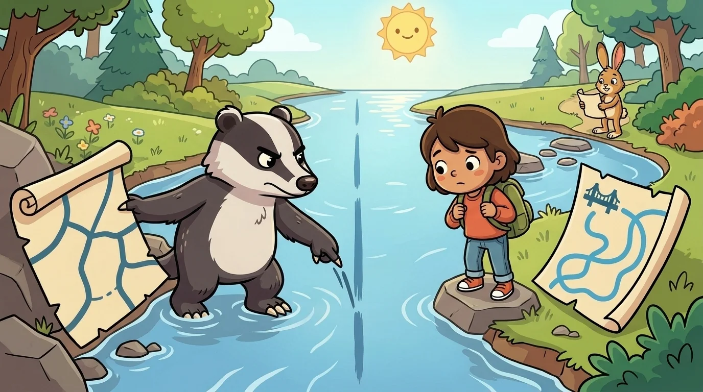
"Here is the thing worth understanding," said Mete. "That river is a feature the land actually grew — but the meanings we just gave it, border and road, the land grew neither. Those are human lines, laid over the land's own line. I look at the river and see where one agreement ends and another begins. That's a real thing, and it matters to the people it organizes. But it isn't in the water. It's in the agreement."
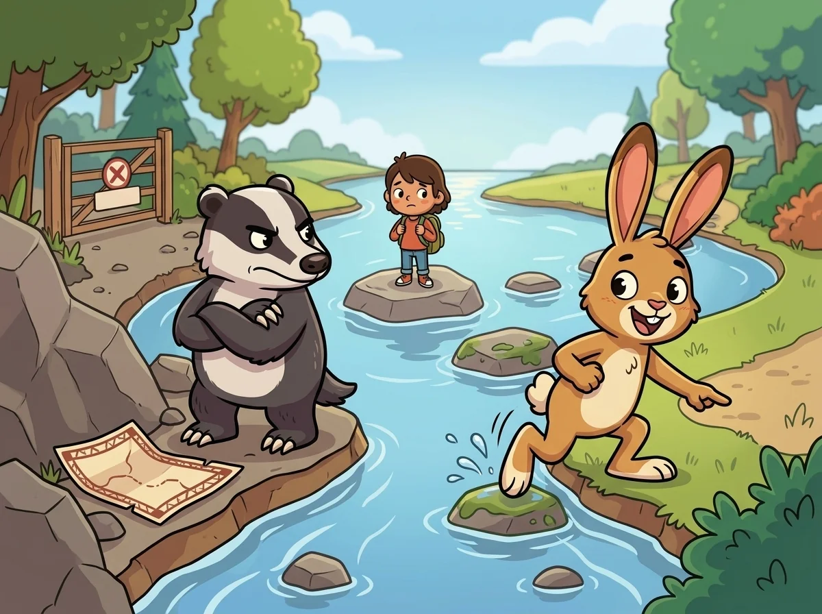
"And I look at the exact same water," said Course, "and see a route — the easiest path through hard country, a way people and goods have moved along for as long as anyone remembers. That's real too. Also not in the water. It's in what people do with it." He traced the river toward the sea. "So the river holds two human meanings at once, pointing opposite ways. Mete's meaning says stop, this is an edge. Mine says go, this is a way through. Same line. Opposite instructions. And which one you read depends entirely on what you need from it that day."
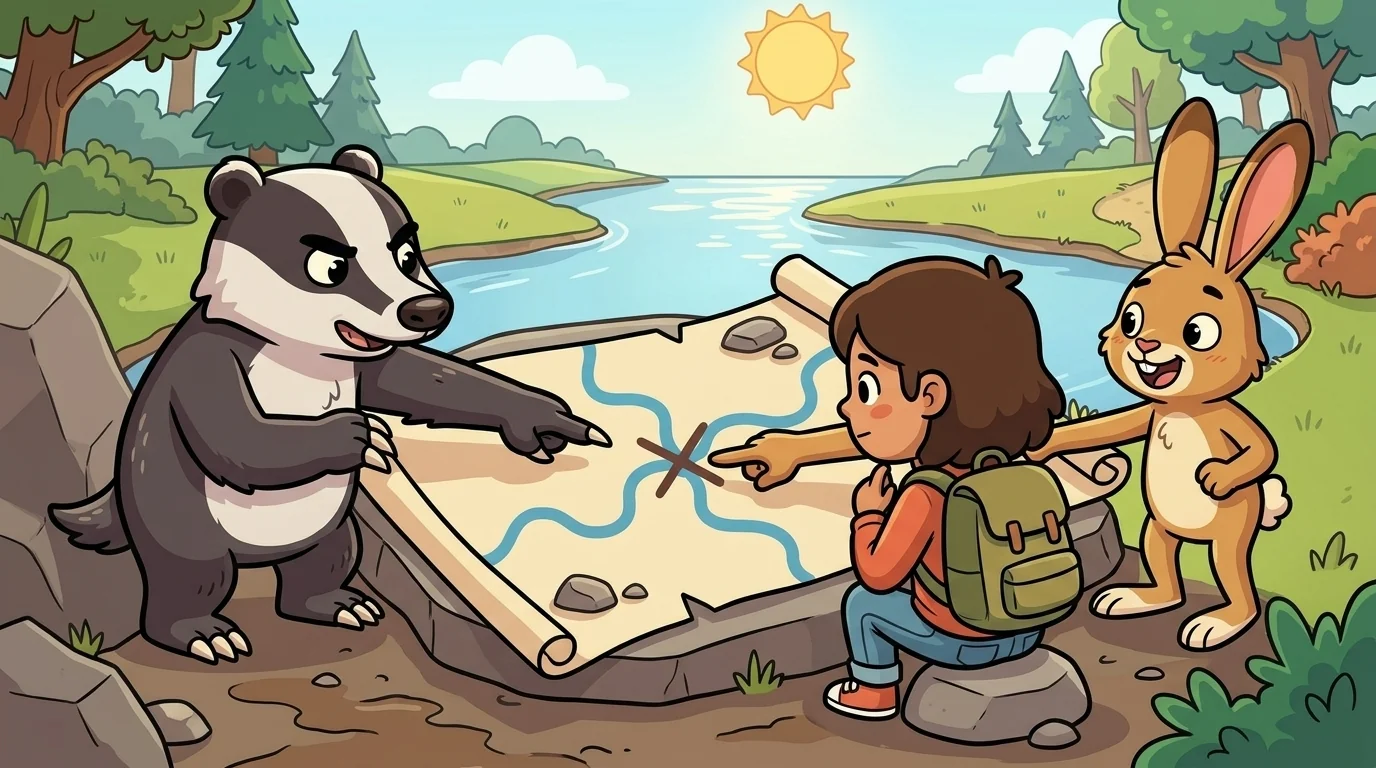
A student frowned, working it out. "So the map is showing me the land's line and people's meanings, all mixed together in one blue line?"
"Exactly, and that's why you read carefully," said Mete. "A good map lets you see which is which — it draws the river as the land made it, and marks the human meanings on top, clearly, so you don't mistake an agreement for a landform." Course nodded. "The trap is a map that shows you only one meaning — only the wall, or only the road — as if that were the whole truth of the river. The honest map admits the river is one line carrying many human meanings, and lets you choose which you're reading."
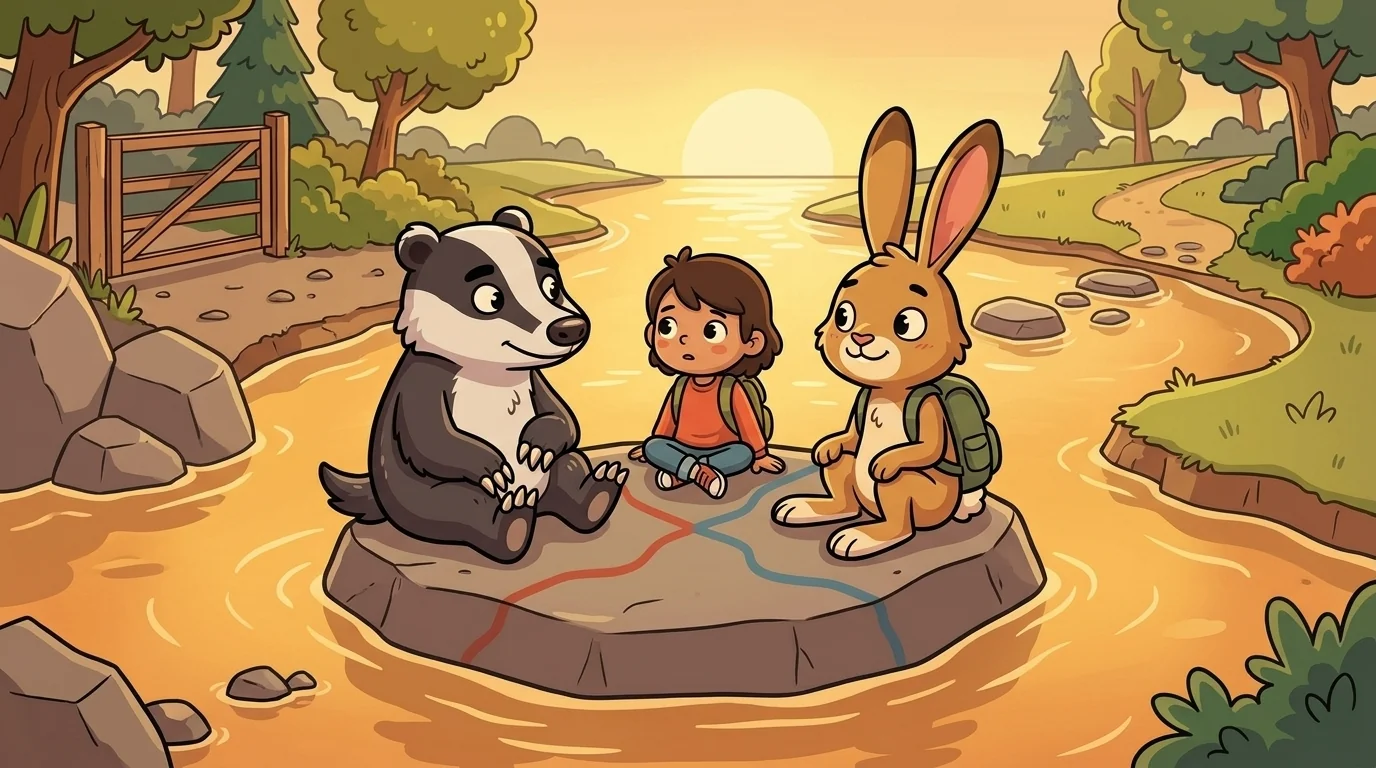
"That's the whole lesson the two of us make together," they said, and for once they said it in turn rather than at odds. "My lines divide," said Mete. "My lines connect," said Course. "And often," they finished, "they are the same line, and the only difference is the person standing at it and what they've come to the river to do." Atlas smiled as the student looked at the blue line and saw, at last, not a wall or a road but a question: which meaning am I bringing?
The river on the map kept flowing, indifferent to both — a line the land drew, wearing two human meanings that people, not the water, had laid across it.
The MapForge ensemble
Mete and Course is part of MapForge's distributed-narrative cast. Each character embodies a different curricular primitive; together they teach the full subject.
-
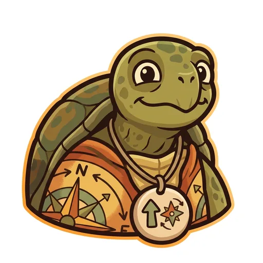
Bearing
Orientation — the tortoise-elder who treats north-up as a convention, not a truth ('north is one direction, not the direction'); teaches that orientation is a choice mapmakers make
-
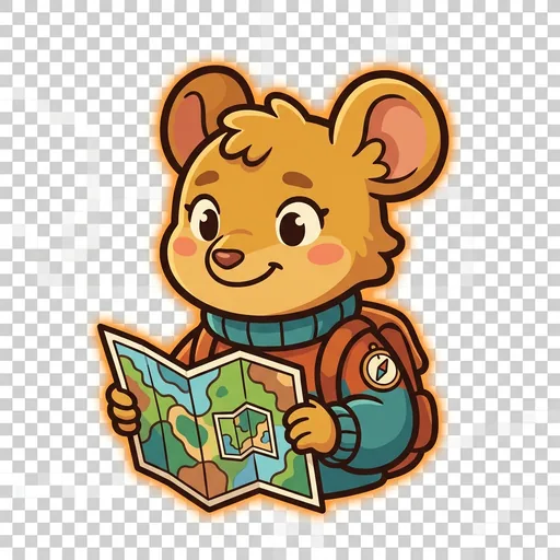
Inset
Scale — the field-mouse-tween with a folded map-within-a-map who teaches scale-choice as a political act ('bigger map, less detail; smaller map, more story — pick on purpose')
-
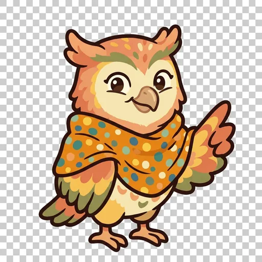
Key
Legend literacy — the owl-tween in a dot-shawl who treats the legend as the mapmaker's confession ('what's NOT on the map — that's also a map')
-
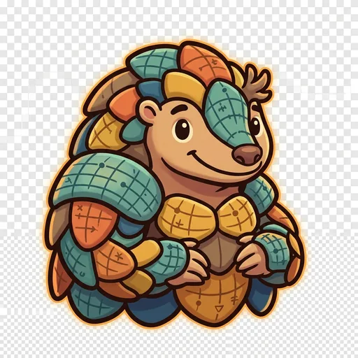
Plot
Coordinates — the pangolin-tween with graticule-scale armor who teaches that coordinate systems are human inventions, plural across cultures ('every place has many addresses; many cultures have many ways of saying here')
-
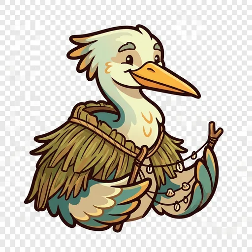
Wayfind
Non-Western mapping traditions — the heron-elder in a woven-grass cloak with stick-chart props who structurally elevates Polynesian wayfinding, Aboriginal songlines, and Indigenous TEK as peer cartographies ('some maps you sing, some you walk, some you only learn from elders')
-
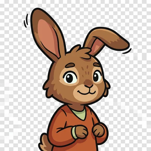
Course
Routes — a map holds every way from here to there; which is best depends
-
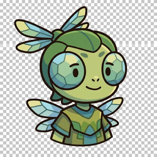
Facet
Thematic mapping — the same land mapped for different purposes
-

Mete
Borders — a line people agreed on, not a thing the land grew
-
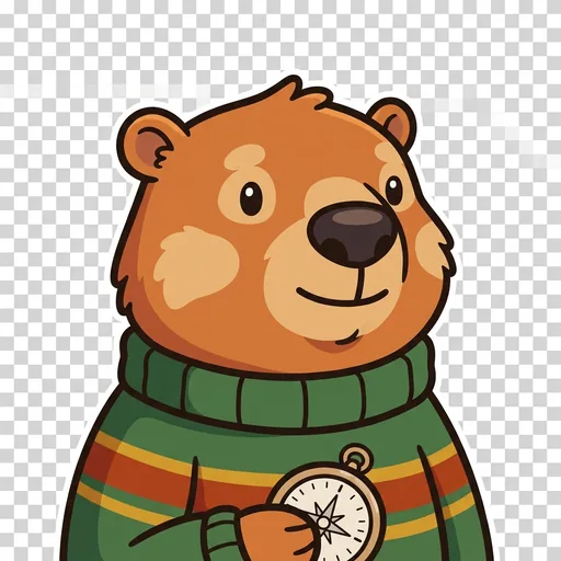
Relief
Relief — a flat map remembers the mountains; contour lines ring a hill
-
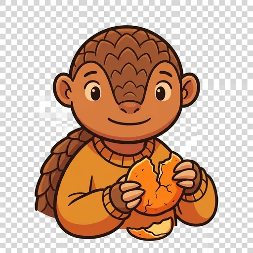
Splay
Projection — you cannot flatten a round world without stretching somewhere