Before you start
Think it through before you map
Most popular
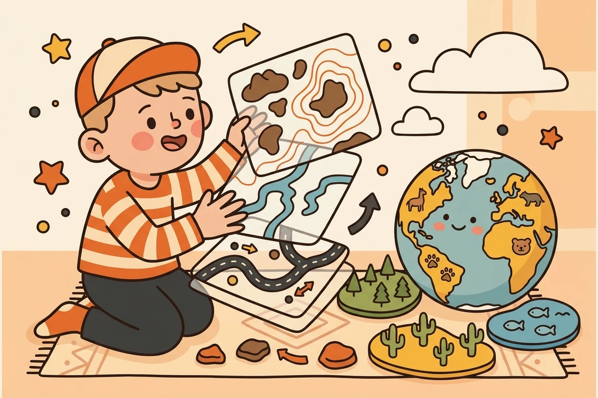
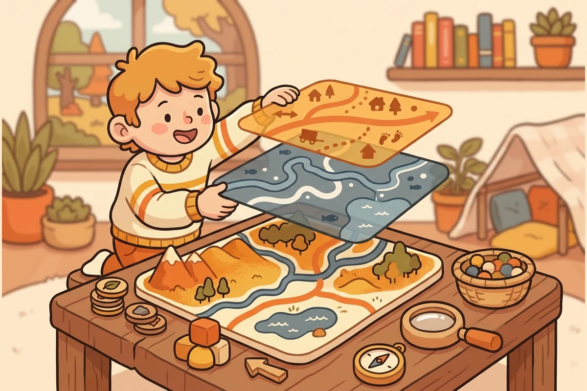 Layered-Map Builder Predict which mountain slope turns to desert (rain shadow), where a river flows next, and what landform two moving plates build.
 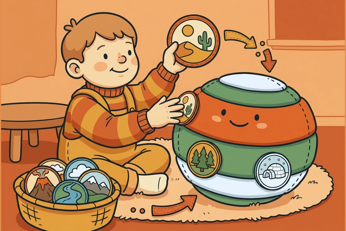 Biome / Climate Match Read a climate — temperature and rainfall — and figure out which biome grows there, from rainforest to tundra.
 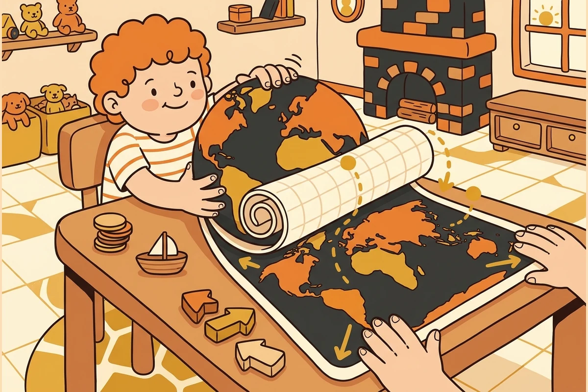 Projection Lab Discover why a flat Mercator map makes places near the poles look far bigger than they really are — the famous Greenland illusion.
 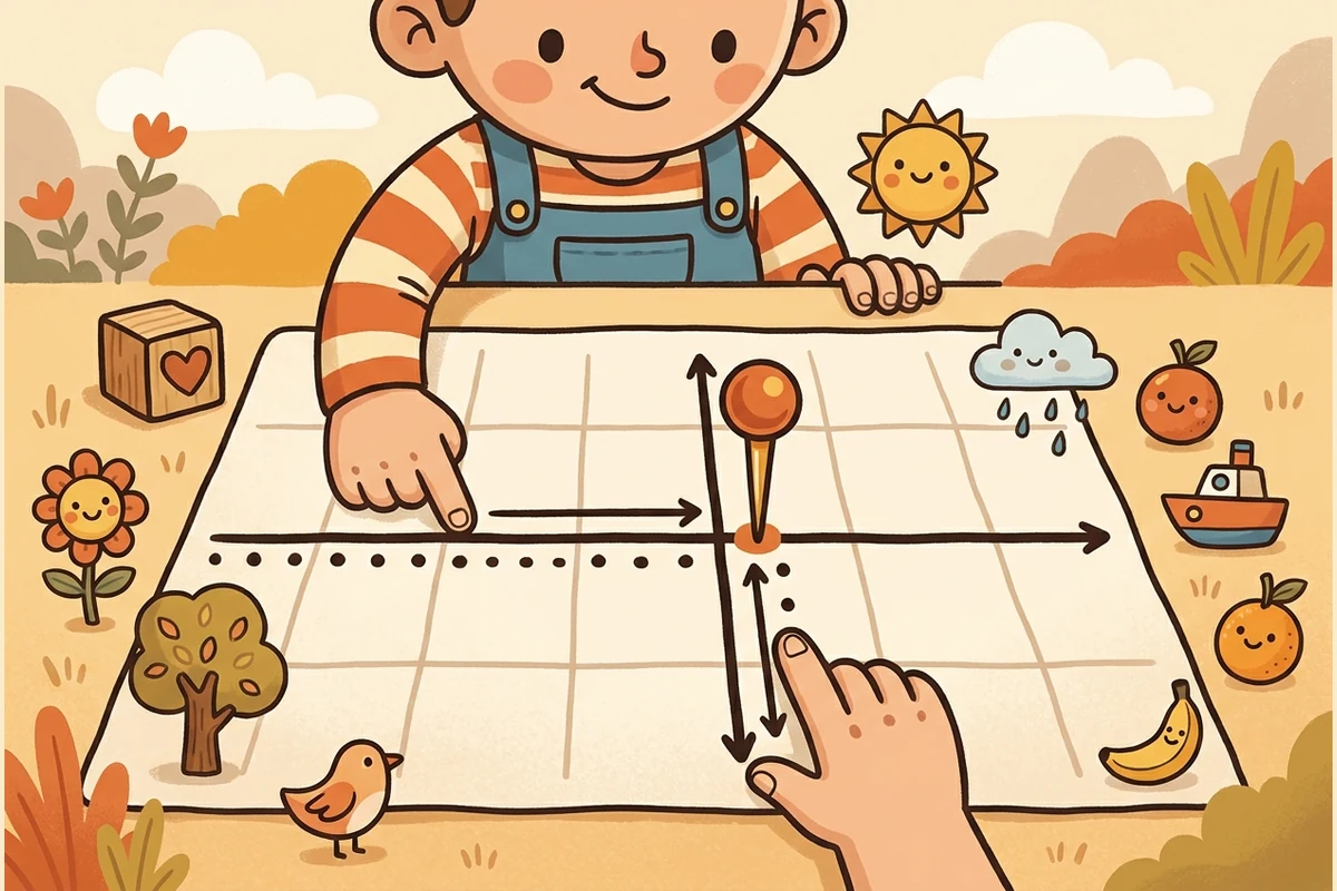 Grid Coordinates Plot a place at its latitude and longitude — step the crosshair north/south and east/west to put the point exactly where it belongs.
 All activities
Build & reason about a world
Layered-Map Builder Predict rain shadow, river flow, and plate landforms — then see the answer. Biome / Climate Match Read a climate and figure out which biome grows there. Projection Lab See why a flat Mercator map fools your eyes near the poles. Grid Coordinates Plot a place at its latitude and longitude on the grid. Time Zones Given the time in one city, set the clock in another — and watch the day roll over, because the Earth turns 15° every hour.
Learn & practice
Concept kits 16 kits from tectonic plates through climate, biomes, settlement, trade, and map skills. Mixed Practice A short round shuffling questions from the kits you have played — spaced so it sticks. MapForge Sprint Race your OWN best on what you already know. Timer optional, no penalty for a miss. Trick Questions Brain-teasers with a twist — spot why the obvious geography answer is a trap. Teach the Cast Teach a geography idea to a cast member still learning it — teaching makes it stick. Progress Your levels, streak, and how each skill is coming along — saved on this device. Progress report For grown-ups — a private on-device snapshot mapped to the skill areas. Export a CSV or print.
Play together
Concept Kits — geography, kit by kit
Kit 1: Tectonic Plates and Plate Boundaries Physical Geography · 25 questions Kit 2: Mountain Formation and Geological Features Physical Geography · 25 questions Kit 3: Climate Systems: Wind, Currents, and Precipitation Climate & Ecology · 25 questions Kit 4: Biome Classification and Ecology Climate & Ecology · 25 questions Kit 5: Settlement Patterns and Habitability Human Geography · 25 questions Kit 6: Trade Routes and Geographic Economics Human Geography · 25 questions Kit 7: Elevation, Rain Shadow Effects, and Topography Physical Geography · 25 questions Kit 8: Map Reading, Projections, and Cartography Human Geography · 25 questions Kit 9: Ocean Currents and Deep-Sea Geography Climate & Ecology · 25 questions Kit 10: Weathering and Erosion Climate & Ecology · 25 questions Kit 11: Geographic Information Systems (GIS) Basics Human Geography · 25 questions Kit 12: Human Geography and Migration Human Geography · 25 questions Kit 13: Cross-Topic Connections Skills & Synthesis · 25 questions Kit 14: Real-World Applications: Disaster Preparedness Skills & Synthesis · 25 questions Kit 15: Misconceptions and Reasoning Skills & Synthesis · 25 questions Kit 16: Advanced Synthesis Skills & Synthesis · 25 questions
More ways to play
😄 Brain break
Meet the cast — the characters who teach this
-
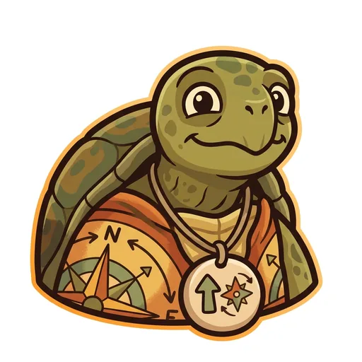 Bearing Orientation — the tortoise-elder who treats north-up as a convention, not a truth ('north is one direction, not the direction'); teaches that orientation is a choice mapmakers make
 -
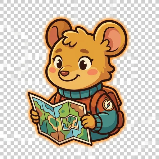 Inset Scale — the field-mouse-tween with a folded map-within-a-map who teaches scale-choice as a political act ('bigger map, less detail; smaller map, more story — pick on purpose')
 -
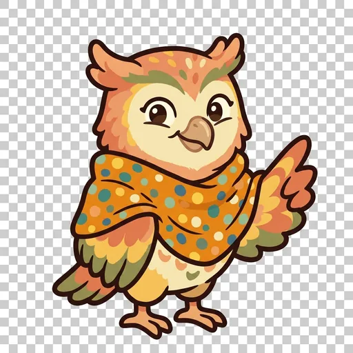 Key Legend literacy — the owl-tween in a dot-shawl who treats the legend as the mapmaker's confession ('what's NOT on the map — that's also a map')
 -
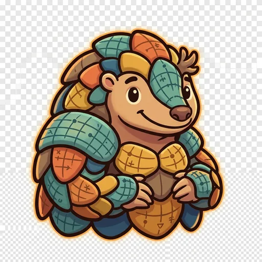 Plot Coordinates — the pangolin-tween with graticule-scale armor who teaches that coordinate systems are human inventions, plural across cultures ('every place has many addresses; many cultures have many ways of saying here')
 -
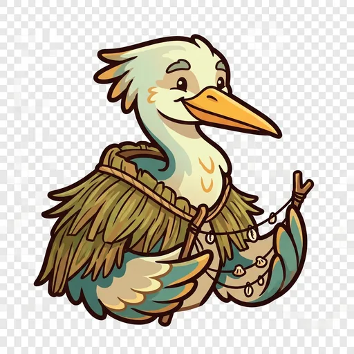 Wayfind Non-Western mapping traditions — the heron-elder in a woven-grass cloak with stick-chart props who structurally elevates Polynesian wayfinding, Aboriginal songlines, and Indigenous TEK as peer cartographies ('some maps you sing, some you walk, some you only learn from elders')
 -
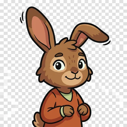 Course Routes — a map holds every way from here to there; which is best depends
 -
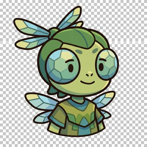 Facet Thematic mapping — the same land mapped for different purposes
 -
 Mete Borders — a line people agreed on, not a thing the land grew
 -
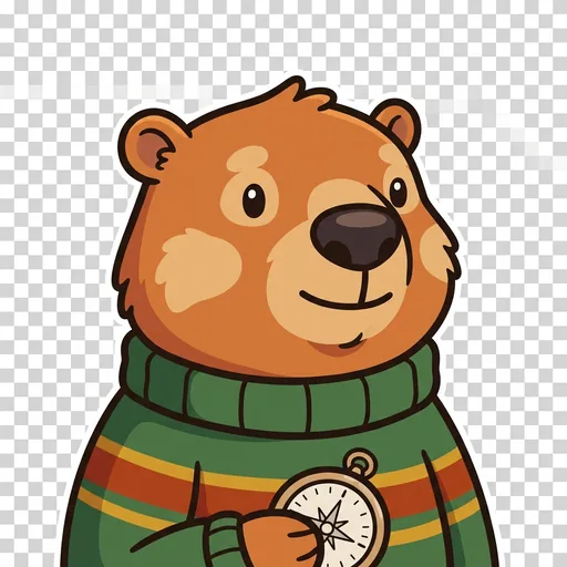 Relief Relief — a flat map remembers the mountains; contour lines ring a hill
 -
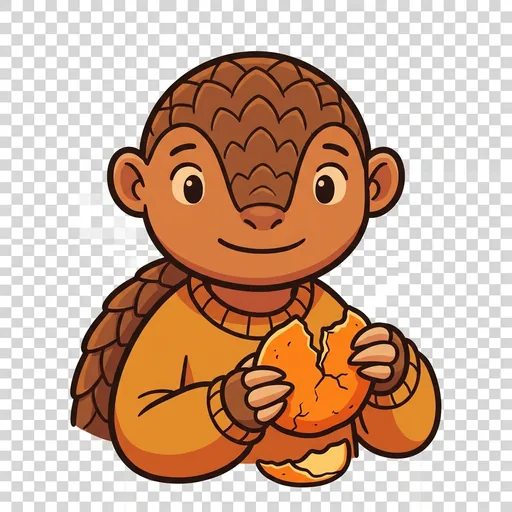 Splay Projection — you cannot flatten a round world without stretching somewhere
Ensemble stories — the cast together