STEM
SextantForge
How did sailors find their way with no GPS? They read the sky. The North Star’s height above the horizon IS your latitude; a clock set to home turns your local noon into your longitude at 15° an hour. Measure Polaris, predict your position, then check it in the Navigator’s lab. Real, tiny, deterministic maths — angles and time — no internet. Ages 9–14.
▶ Play it nowBuilt for sittings of about 20 minutes on the screen. That is our design budget, not a measurement.

Meet your mentor
Every Spark & Anvil app has a friendly mentor character that demonstrates, asks, and patiently scaffolds learning.
Mentored by Meridian
#1f6f9e Characters who teach
Meet the cast
SextantForge's crew ARE the sky's four navigation instruments — the cast IS the curriculum: each character's job IS one way the heavens fix your place. Polaris holds still over the North Pole, so its height above the horizon reads out your latitude, degree for degree. Chrono, the ship's clock, keeps home time and turns 'when is MY noon?' into 'how far west have I come?' at 15° an hour. Wayfinder steers by the stars that always rise in the same place — the Pacific navigator's star compass. Mentor Meridian draws the invisible north-south lines and reminds the crew that one hour of time is exactly 15° of longitude. Nothing leaves the device.

Polaris
Latitude from a star — the North Star’s height above your horizon IS your latitude
Read chapter →

Chrono
Longitude from a clock — the gap between home noon and your noon, at 15° an hour
Read chapter →
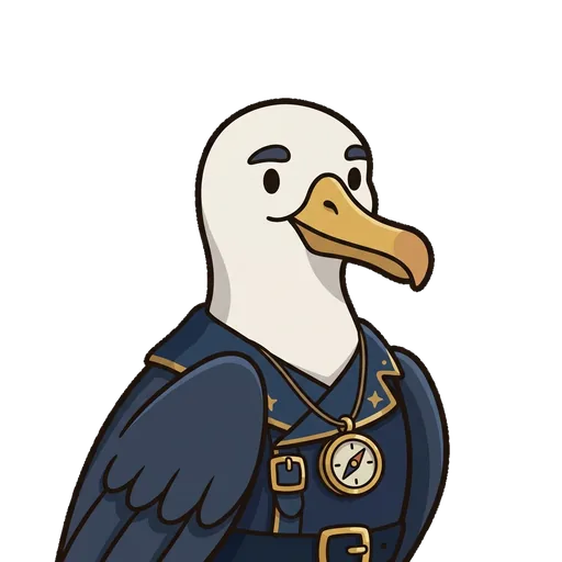
Meridian
One hour = 15° — Earth turns 360° in 24 hours, and the meridians follow
Read chapter →
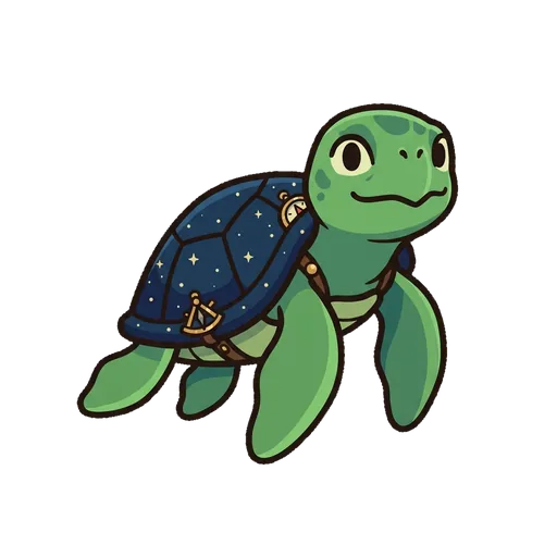
Wayfinder
The star compass — steer by stars that rise at the same bearing every night, no instruments at all
Read chapter →
Browse all chapters → · What's distributed-narrative methodology? →
What's inside
Learning goal
How did sailors find their way with no GPS? They read the sky. The North Star’s height above the horizon IS your latitude; a clock set to home turns your local noon into your longitude at 15° an hour. Measure Polaris, predict your position, then check it in the Navigator’s lab. Real, tiny, deterministic maths — angles and time — no internet. Ages 9–14.
Mentored by Meridian — no data leaves the device.
How SextantForge handles your kid's data
- ✅ All progress, settings, and AI-generated content stays on the device
- ✅ No analytics, no tracking, no third-party SDKs
- ✅ Free — no ads, no in-app purchases
- ✅ No personal information collected from children — in line with COPPA (updated by the 2026 FTC amendments)
- ✅ No chat with strangers — play-together rooms use a short code and preset emotes, never typed messages
For you, the grown-up
Spark & Whetstone, our free site for grown-ups, tells what SextantForge teaches in a short course of its own.